 Vienna: Südosttangente
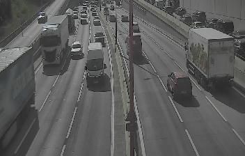
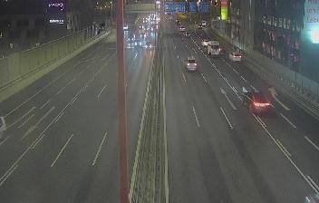
Vienna lies along the Danube, while the A23 Südosttangente runs through its eastern and southern urban districts as a major motorway corridor. The road connects with the A2 Südautobahn, A4 Ostautobahn and A22 Donauufer Autobahn, tying Vienna’s neighbourhoods to routes towards southern, eastern and northern Austria. Around St. Marx, dense commercial and residential development reflects the city’s role as Austria’s political and economic centre. Beyond the motorway network, Vienna is defined by its grand Ringstrasse, imperial Habsburg architecture and historic centre, a UNESCO World Heritage site since 2001. The Südosttangente is part of the working infrastructure behind a capital where historic quarters, new business areas and transport links meet.
Generated by AI
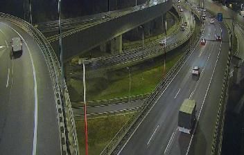
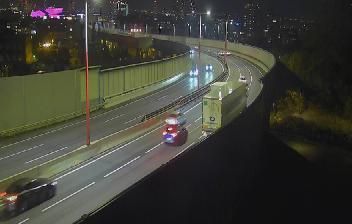


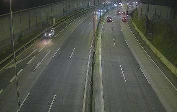
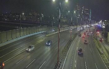


Vienna straddles the Danube in eastern Austria, and its position on one of Europe’s great waterways helped make it a long-standing political and cultural centre. The former Habsburg capital is defined by imperial ensembles such as Hofburg and Schönbrunn Palace, while St. Stephen’s Cathedral anchors the historic core. The Ringstrasse circles the Innere Stadt, passing major 19th-century public buildings, museums and theatres. Vienna is also closely associated with coffeehouse culture, classical music and the Vienna State Opera. Continue to other webcams in Vienna to compare urban settings across Austria’s capital.
30 webcams
The terrain of Vienna ranges from the wooded slopes of the Vienna Woods in the west to the flat Danube plain in the east, giving the Austrian capital a clear contrast between hills and river lowlands. The Danube traces the city’s northern edge, while the Danube Canal runs through central districts. Vienna was the seat of the Habsburg monarchy for centuries, an inheritance visible in the Hofburg complex and along the Ringstrasse boulevard. St Stephen’s Cathedral remains the historic focal point of the old city, where compact streets meet grand nineteenth-century avenues. Browse nearby webcam locations for complementary perspectives on Vienna.
106 webcams
Austria stretches from the Bohemian Massif along its northern edge to the Carnic Alps on the Italian border, encompassing high Alpine ranges and the Danube lowlands. The Danube links cities including Linz and Vienna, while the Grossglockner, at 3,798 metres, is the country’s highest mountain. Vienna developed for centuries as the seat of the Habsburg court, leaving imperial architecture around the Hofburg and Schönbrunn Palace. Salzburg is closely associated with Wolfgang Amadeus Mozart, who was born there in 1756. Alpine Tyrol, wine-growing areas east of Vienna and the lakes of Salzkammergut add markedly different regional identities. Browse other webcams across Austria to place this setting in a wider geographic context.
3.1K webcams