 Monachil: Sierra Nevada - Zona Borreguiles, Granados - Morillas

Built around the Monachil River, Monachil grew into a mountain municipality whose territory climbs from the foothills above Granada into the Sierra Nevada. Its upper Borreguiles sector belongs to the Sierra Nevada ski resort, where lifts and marked runs cross high, treeless slopes. The wider range contains Sierra Nevada National Park and Mulhacén, at 3,479 metres the highest mountain on the Iberian Peninsula. Borreguiles is one of the resort’s principal mountain areas, set well above the village itself. In the lower valley, Monachil retains an Andalusian mountain-town character and close ties with Granada.
Generated by AI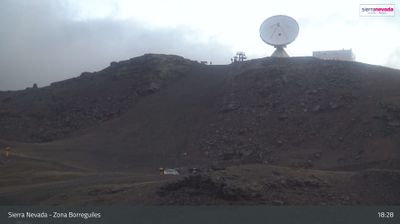
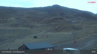
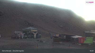
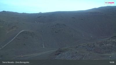


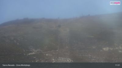
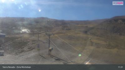


Monachil’s surroundings are defined by steep Sierra Nevada foothills and the Monachil River, a setting that has shaped both the settlement’s layout and its farming-and-tourism economy. Just southeast of Granada, the town stands where cultivated slopes and narrow ravines rise toward the high mountains of Sierra Nevada National Park. The Río Monachil has cut through Los Cahorros, a gorge known for its walking route, rock walls and suspension bridges. Within the municipality, Pradollano forms part of the Sierra Nevada ski area, connecting this inland Andalusian community with winter sport and summer hiking. Traditional irrigation channels, or acequias, remain part of the local agricultural heritage. Discover how Monachil connects with Granada and the Sierra Nevada by browsing nearby webcams.
13 webcams
Shaped around the Guadalquivir basin, Andalusia developed into Spain’s largest autonomous community by area. The river crosses a broad agricultural plain before reaching the Atlantic, while the Sierra Nevada rises in the east and Mediterranean and Atlantic shores frame the region’s south. Its cities preserve major traces of Al-Andalus: Córdoba’s Mosque-Cathedral and Granada’s Alhambra are among Spain’s defining monuments. Seville, the capital, is closely associated with flamenco, and olive groves define much of the interior. Explore more of southern Spain to broaden your perspective on Andalusia’s rivers, mountains and coasts.
56 webcams
Spain extends from the Cantabrian coast to the Canary Islands, encompassing Atlantic shores, Mediterranean beaches and the broad interior Meseta. The Pyrenees form its northeastern frontier, while the Guadalquivir crosses Andalusia on its way to the Atlantic. Madrid anchors the country’s political and cultural life, but distinct regional identities are central to Spain’s character: Catalonia, the Basque Country, Galicia and Andalusia each have their own languages or strong local traditions. Granada’s Alhambra is a major monument of the medieval Nasrid dynasty, and Santiago de Compostela remains the destination of the Camino de Santiago. Browse related webcams around the Iberian Peninsula to build a fuller picture of Spain.
1.4K webcams