 Winterberg: Brembergkopf, Büre Bremberg X-Press

Winterberg occupies a forested upland in the Rothaar Mountains of North Rhine-Westphalia. The town lies close to the source of the Ruhr, which flows west through the Ruhr region before joining the Rhine. In the Sauerland, its wooded slopes and open clearings have made Winterberg one of Germany’s established centres for winter sports, while the same terrain supports hiking and cycling. The Rothaarsteig long-distance trail passes through the town, tying it to routes across the Rothaargebirge. Winterberg’s sporting tradition also includes the Veltins-EisArena, a track for bobsleigh, luge and skeleton. Lift stations and recreation facilities stand among spruce woodland rather than a dense urban centre, giving the town a distinctly upland character.
Generated by AI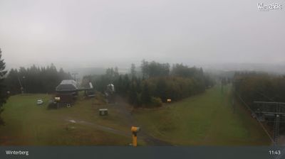
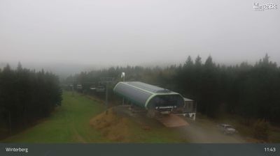
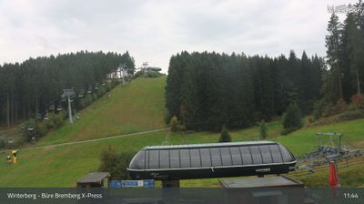
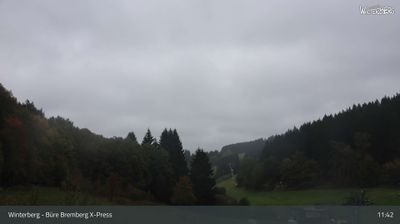
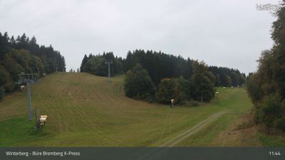
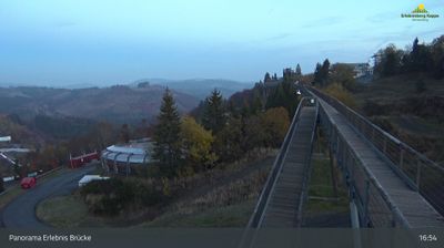
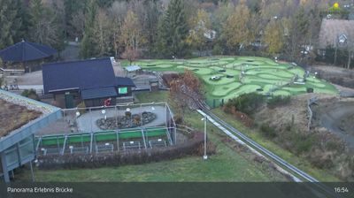
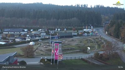
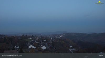
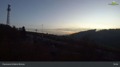

Tucked into the Rothaar Mountains of North Rhine-Westphalia, Winterberg is a place whose character is shaped by its elevated, cool-climate setting in the Sauerland. The town is one of western Germany’s best-known winter-sports centres, with the Veltins-EisArena hosting international bobsleigh, luge and skeleton events. Nearby Kahler Asten, among the region’s highest peaks, anchors a network of marked walking and cycling routes as well as ski terrain in colder months. Winterberg’s compact centre and resort infrastructure make it a year-round base for active breaks in the uplands. Trace Winterberg’s place in the wider Sauerland by browsing webcams from nearby locations.
28 webcams
Built around the Rhine trade corridor and the Ruhr coal-and-steel belt, North Rhine-Westphalia grew into Germany’s most populous state. The Rhine crosses its western side, linking Cologne, Düsseldorf and Bonn, while the Ruhr became one of Europe’s defining industrial regions. Dortmund, near these coordinates, reflects that legacy alongside a major football and brewing tradition. Cologne Cathedral, a UNESCO World Heritage site, remains the state’s best-known monument, and Essen’s Zollverein Coal Mine Industrial Complex records the scale of its mining past. Forested uplands in the Sauerland and Teutoburg Forest broaden a region often associated only with cities and factories. Explore additional webcams nearby to better understand how North Rhine-Westphalia connects the Rhine, the Ruhr and its surrounding uplands.
274 webcams
Germany stretches from the North Sea and Baltic Sea coasts to the Alps on its southern border, encompassing northern plains, river valleys and forested uplands. The Rhine, Danube and Elbe have long connected its regions, while the Black Forest and Bavarian Alps give the south a more dramatic relief. Berlin’s Brandenburg Gate and Museum Island reflect the capital’s role in German history and culture. Cologne Cathedral, a UNESCO World Heritage Site, rises above the Rhine, and the Bauhaus movement, founded in Weimar in 1919, transformed modern design far beyond Germany. Regional cooking, Christmas markets and brewing traditions bring further character to daily life. Browse additional webcams from the surrounding area to extend your view of Germany.
2.8K webcams