 Bolsterlang: I - Weiherkopf Bergstation

The landscape around Bolsterlang is a mosaic of Alpine pasture, spruce forest and rising slopes in the Allgäu Alps, which has shaped both the built environment and local life. The village belongs to the Hörnerdörfer, a group of settlements below the Hörnergruppe, and lies above the Iller Valley in southern Bavaria. Weiherkopf is part of the local mountain terrain served by the Hörnerbahn, linking the village to hiking and ski routes. Farmsteads and managed meadows remain central to this working Alpine setting, while the wider Oberallgäu region is closely associated with Allgäu cheese-making and seasonal upland grazing.
Generated by AI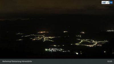
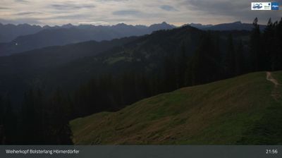
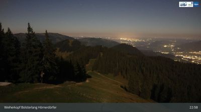
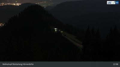
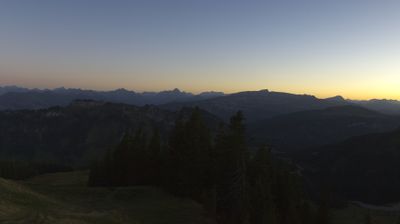
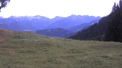
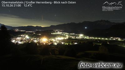
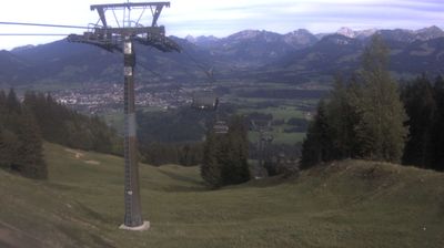
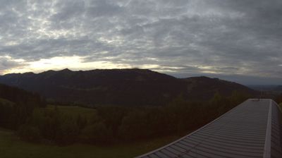

Bolsterlang combines the working rhythm of Allgäu mountain pastures with the activity of a four-season resort, reflecting its position beneath the Hörnergruppe in the Allgäu Alps. The village lies near the foot of Bolsterlanger Horn, while the Iller valley opens to the west and connects this upland area with the wider Oberallgäu. Alpine farming remains part of local life: cattle are taken to high summer pastures, a tradition that also shapes the region’s dairy culture. In winter, the Hörnerbahn and local pistes make Bolsterlang a base for skiing; warmer months bring walkers and cyclists to mountain roads and trails. Discover further points of interest through webcams across Bolsterlang and the Oberallgäu.
7 webcams
Built around the early medieval Duchy of Bavaria, Bavaria grew into Germany’s largest federal state. The Danube crosses its broad centre, while the Bavarian Alps form its southern edge and include the Zugspitze, Germany’s highest mountain. Munich is the state capital and the home of Oktoberfest, a festival rooted in an 1810 royal wedding. Beyond the metropolis, Franconia’s vineyards, Swabian towns and Alpine resorts reveal how varied this part of Germany can be. Browse additional webcams from the surrounding area to extend your view of Bavaria.
867 webcams
Germany stretches from the North Sea and Baltic Sea coasts to the Alps on its southern border, encompassing northern plains, river valleys and forested uplands. The Rhine, Danube and Elbe have long connected its regions, while the Black Forest and Bavarian Alps give the south a more dramatic relief. Berlin’s Brandenburg Gate and Museum Island reflect the capital’s role in German history and culture. Cologne Cathedral, a UNESCO World Heritage Site, rises above the Rhine, and the Bauhaus movement, founded in Weimar in 1919, transformed modern design far beyond Germany. Regional cooking, Christmas markets and brewing traditions bring further character to daily life. Browse additional webcams from the surrounding area to extend your view of Germany.
2.8K webcams