 Lipno nad Vltavou: Lipno - Fox Park

Lipno nad Vltavou lies along the Vltava River, where forested slopes of the Šumava foothills descend towards the broad Lipno Reservoir. The reservoir is Czechia’s largest lake by surface area, created by the Lipno Dam, completed in 1959. The settlement has developed into a major all-season recreation centre, with Lipno Ski Resort on the hillside and the family-oriented Fox Park at its base. Marinas, beaches and paths shape the shoreline, while rolling highland terrain and dense woodland extend inland towards the Bohemian Forest near the Austrian border. Lipno is a practical base for cycling, watersports and mountain activities, and its dam remains an important part of the Vltava hydroelectric system.
Generated by AI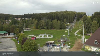
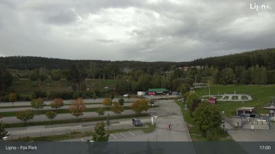
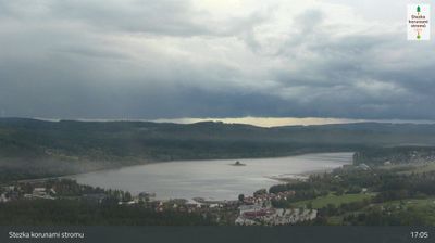
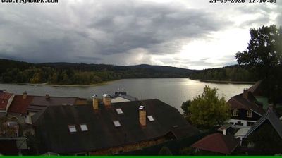
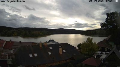




Lipno nad Vltavou stretches along the Vltava’s Lipno Reservoir in the South Bohemian Region, and the lake created by the Lipno Dam has shaped it into a year-round recreation centre. This is the Czech Republic’s largest reservoir by area, with broad water for sailing, paddling and lakeside cycling beneath the forested slopes of Šumava. The Lipno Dam and its hydroelectric plant, completed in 1959, remain defining engineering landmarks. Above the village, the Lipno Treetop Walkway rises among the woods, while the local slopes and trails draw winter sports visitors. Continue through nearby webcams to explore different parts of Lipno and South Bohemia.
4 webcams
South Bohemian Region occupies a broad southern stretch of Bohemia in Czechia, reaching from the Šumava Mountains near Austria to the lowlands around České Budějovice. The Vltava flows north through this region, while the Třeboň area is renowned for its centuries-old network of fishponds and carp farming. Český Krumlov, set in a bend of the Vltava, is a UNESCO World Heritage Site known for its historic centre and castle complex. The regional capital, České Budějovice, is also home to the Budweiser Budvar brewery. Browse additional webcams from the surrounding area to extend your view of South Bohemia.
105 webcams
The terrain of Czechia ranges from fertile lowlands in southern Moravia to mountain ridges along the northern frontier, giving this Central European country a distinctly varied geography. The Vltava runs through Prague before joining the Elbe, while the Krkonoše form part of the border with Poland and include Sněžka, Czechia’s highest mountain. Prague’s historic centre, with Prague Castle and Charles Bridge, reflects the city’s long role as a political and cultural centre. Beyond the capital, Bohemia is known for spa towns and brewing, and Moravia for wine-growing traditions. View additional webcams nearby to better understand how Czechia relates to its Central European surroundings.
1.4K webcams