 Pittsburgh
Few places in western Pennsylvania have a history as closely tied to steelmaking and river commerce as Pittsburgh. The city stands where the Allegheny and Monongahela rivers join to form the Ohio River, a setting that made it a major industrial and transport centre. Downtown occupies the pointed Golden Triangle between the two rivers, with road corridors, bridges and office towers compressed into a compact core. Steel mills once lined the river valleys and gave Pittsburgh its international reputation; their legacy remains central to the city’s identity even as education, medicine, technology and finance now play major roles. Point State Park marks the former site of Fort Pitt, built by the British during the French and Indian War. The surrounding hills and river crossings give central Pittsburgh a strongly layered urban form.
Generated by AI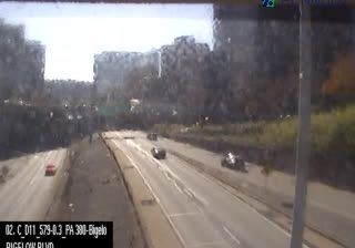
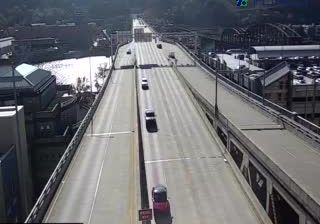
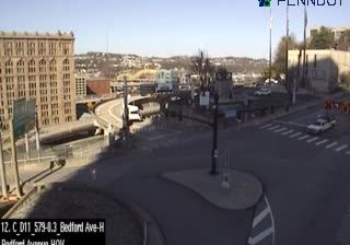
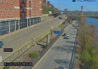
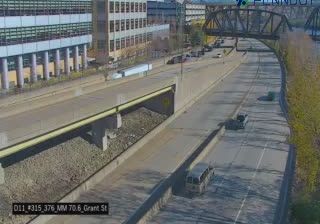
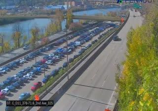

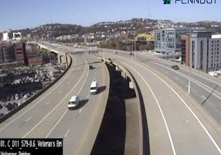

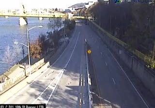

Built around the meeting of the Allegheny and Monongahela rivers, Pittsburgh grew into a major American centre of industry, education and medicine. Their union forms the Ohio River at Point State Park, where the Fort Pitt Museum recalls the city’s strategic 18th-century beginnings. Steel made Pittsburgh internationally known, and that legacy endures in former mill districts and the Carnegie Museums of Pittsburgh. Downtown occupies a compact triangle between the rivers, while the Duquesne Incline climbs Mount Washington above the Monongahela. Explore additional live views from surrounding Pennsylvania to broaden your sense of western Pennsylvania.
69 webcams
Pennsylvania stretches from the shore of Lake Erie to the Delaware River, encompassing Appalachian ridges, plateaus and broad river valleys. Near the state’s geographic centre, the West Branch Susquehanna and its tributaries run through forested country, while the main Susquehanna continues south towards Chesapeake Bay. Philadelphia gives Pennsylvania an enduring place in the story of the United States: Independence Hall was the setting for the adoption of the Declaration of Independence and the signing of the Constitution. Former industrial cities, Amish and Mennonite communities, farms and state forests reveal markedly different sides of the Commonwealth. Discover other points of interest through webcams located across Pennsylvania.
1.5K webcams
The Atlantic, Pacific and Gulf coasts define much of the United States — their ports, fisheries and trade routes have long tied the country’s economy to the wider world. Between them, the Rocky Mountains, Great Plains and Mississippi River basin form sharply different regions, from high western ranges to broad agricultural heartlands. Cities carry much of the national story: New York’s Statue of Liberty, a gift from France dedicated in 1886, remains an enduring symbol, while Washington, DC concentrates major federal institutions. Indigenous nations have shaped these lands for millennia, and their living cultures remain essential to the country’s identity. Find related webcams in the surrounding areas to build a fuller picture of the United States.
32K webcams