 Zandov: Zandov namesti
Žandov lies along the Ploučnice valley, where a compact town centre is enclosed by the wooded hills of northern Bohemia. Žandov Square is the civic core, arranged around a broad paved space edged by modest historic townhouses and local services. The settlement was first recorded in 1175, and its position between Česká Lípa and Děčín has long tied it to the route through the Ploučnice valley. The Church of Saint Bartholomew is one of the town’s established landmarks. Rather than a resort centre, Žandov has the everyday scale of a small Czech town, with the square acting as its meeting point and practical centre.
Generated by AI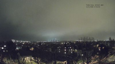

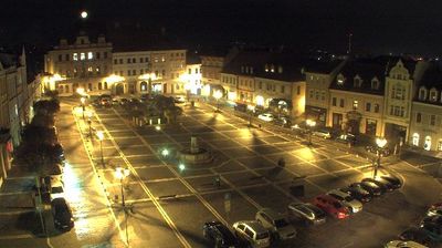
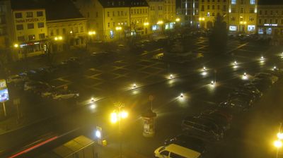
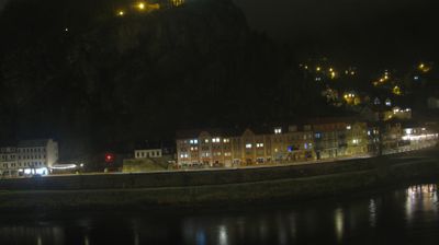
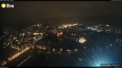

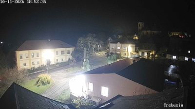
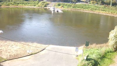

The landscape around Žandov is gently rolling, with fields and woodland following the Ploučnice valley, which has shaped both the town’s layout and local economy. This small northern Bohemian town lies between Česká Lípa and Děčín, along a river corridor that connects a series of rural settlements. The Church of St Bartholomew provides a historic focal point in the centre, while Žandov retains the unhurried scale of a country town rather than a major tourist resort. It is a useful place to understand the quieter side of the Liberec Region and the Ploučnice basin. Continue through nearby webcams to explore different parts of Žandov and the Ploučnice valley.
1 webcam
Liberec Region is best known in Czechia for Ještěd, the mountain above Liberec crowned by its unmistakable hotel and television tower. In the country’s north, the region reaches from the Jizera Mountains towards the Krkonoše and Lusatian Mountains, while the Nisa River runs through Liberec and continues north into Poland and Germany. Liberec, the regional capital, developed as an important textile-manufacturing centre; its 19th-century Town Hall remains one of the city’s defining buildings. Borderland geography gives the area a distinctly Central European character, with mountain resorts, forest roads and historic towns close together. Browse additional webcams from the surrounding area to extend your view of Liberec Region.
112 webcams
The terrain of Czechia ranges from fertile lowlands in southern Moravia to mountain ridges along the northern frontier, giving this Central European country a distinctly varied geography. The Vltava runs through Prague before joining the Elbe, while the Krkonoše form part of the border with Poland and include Sněžka, Czechia’s highest mountain. Prague’s historic centre, with Prague Castle and Charles Bridge, reflects the city’s long role as a political and cultural centre. Beyond the capital, Bohemia is known for spa towns and brewing, and Moravia for wine-growing traditions. View additional webcams nearby to better understand how Czechia relates to its Central European surroundings.
1.4K webcams