 La Chevroliere: Ornithological Observatory Lac de Grand-Lieu - Lac de Grand-Lieu
Lac de Grand-Lieu defines the setting of La Chevrolière — its shallow waters, marshes and reed beds give this part of the Loire-Atlantique lowlands a distinctly watery character. South-west of Nantes, the lake is one of France’s important inland wetlands and supports a notably varied bird population. Its protected shores form a refuge for wildlife rather than a built-up waterfront. The Ornithological Observatory of Lac de Grand-Lieu focuses attention on this environment, while the lakeside hamlet of Passay preserves a long association with freshwater fishing. La Chevrolière is shaped as much by the lake’s protected margins as by the surrounding rural communes.
Generated by AI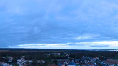
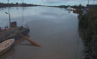

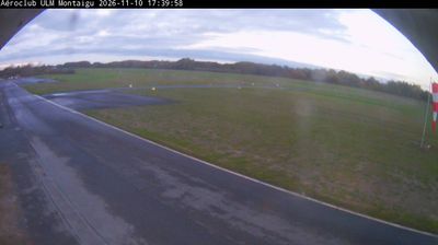

La Chevrolière occupies a low-lying position on the northern edge of Lake Grand-Lieu in Pays de la Loire. The commune lies south of Nantes, where the shallow lake, reed beds and surrounding marshes create an important wetland environment in western France. Water levels change noticeably with the seasons, shaping bird habitats and helping keep much of the shoreline protected. Passay, a lakeside hamlet within the commune, has long been associated with fishing on Grand-Lieu; the Maison des Pêcheurs du lac de Grand-Lieu recalls this local tradition. La Chevrolière presents a quieter, water-shaped side of the Nantes area, defined by rural lanes, wetlands and settlements close to the shore. Discover other points of interest through webcams located across Pays de la Loire.
1 webcam
The Loire River defines much of Pays de la Loire — its broad valley has long supported vineyards, market gardening and river towns. This western French region extends from the Atlantic coast to inland farmland and includes Nantes, Angers, Le Mans and the Vendée. In Angers, the medieval Château d’Angers holds the Apocalypse Tapestry, a major late-medieval work commissioned by Louis I, Duke of Anjou. Nantes developed as an important Loire port, while the river is also followed by the Loire à Vélo cycling route. Continue through nearby webcams to explore different parts of Pays de la Loire.
78 webcams
The Atlantic and Mediterranean coastlines, together with the Alps, Pyrenees and broad river basins, define much of France — they support maritime trade, farming, wine regions and travel throughout the year. The Seine runs through Paris, where the Eiffel Tower and the Louvre are among Europe’s most recognised landmarks. The Loire Valley is known for Renaissance châteaux, while Mont-Saint-Michel rises from a tidal bay in Normandy. Regional food traditions are equally distinctive, from Breton seafood to Provençal cooking, with bread, cheese and wine central to everyday life. France’s global cultural influence is evident in its language, literature, fashion and cinema. View additional webcams nearby to better understand how France’s coasts, plains and mountain borders relate to their surroundings.
2.1K webcams