 East Dubuque: DQ - US 20 @ MM 300.3 (E Mississippi River Bridge - West)
East Dubuque is best known in northwestern Illinois for the Julien Dubuque Bridge across the Mississippi River. Carrying US Route 20, the bridge links the city with Dubuque, Iowa, forming an important connection between Illinois and the Tri-State Area of Iowa, Illinois and Wisconsin. Its name commemorates Julien Dubuque, the French-Canadian trader closely associated with the region’s early lead-mining economy. East Dubuque stands among the river bluffs of the Driftless Area, where the Mississippi has shaped both the terrain and the pattern of settlement. The river crossing remains central to the city’s relationship with its larger neighbour on the opposite bank.
Generated by AI

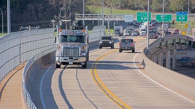

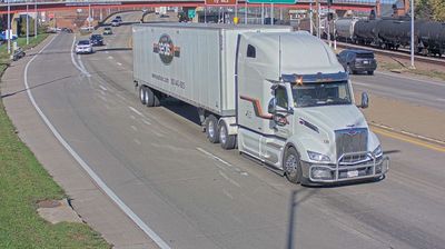
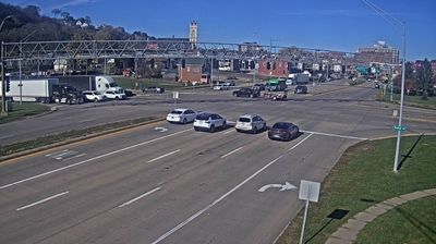
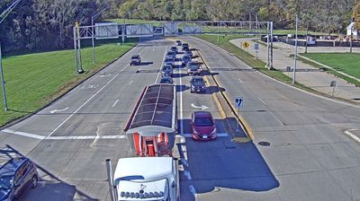
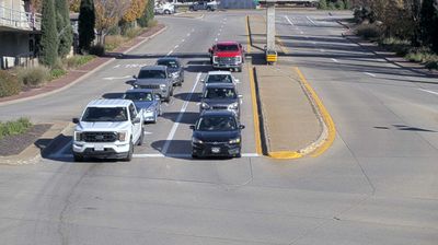
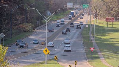


East Dubuque lies along the Mississippi River, where the broad river valley meets the rolling limestone hills of northwestern Illinois. Facing Dubuque, Iowa, across the water, it forms part of the Tri-State Area, where Illinois, Iowa and Wisconsin converge. The Julien Dubuque Bridge carries U.S. Route 20 across the Mississippi, linking the city directly with its larger neighbour. Known as Dunleith until 1877, East Dubuque developed during the region’s 19th-century lead-mining era. Its riverfront setting and position beside Illinois’ Driftless Area give the city a distinctly Upper Midwest character. Discover other points of interest through webcams located across East Dubuque and northwestern Illinois.
2 webcams
Illinois has served as a frontier within the United States since the early nineteenth century. Its broad central plains, including the area around Springfield, contrast with the urban scale of Chicago on Lake Michigan. The Mississippi River forms much of the western state boundary, while the Illinois River crosses the interior toward the Mississippi. Springfield is closely associated with Abraham Lincoln, who lived and worked there before becoming president; his home and presidential library are major civic landmarks. Farming remains central to the state’s identity, alongside manufacturing, transport, and the cultural influence of Chicago. Browse additional webcams from the surrounding area to extend your view of Illinois.
53 webcams
The Atlantic, Pacific and Gulf coasts define much of the United States — their ports, fisheries and trade routes have long tied the country’s economy to the wider world. Between them, the Rocky Mountains, Great Plains and Mississippi River basin form sharply different regions, from high western ranges to broad agricultural heartlands. Cities carry much of the national story: New York’s Statue of Liberty, a gift from France dedicated in 1886, remains an enduring symbol, while Washington, DC concentrates major federal institutions. Indigenous nations have shaped these lands for millennia, and their living cultures remain essential to the country’s identity. Find related webcams in the surrounding areas to build a fuller picture of the United States.
32K webcams