 Henderson: Norfork Lake - Bennetts Bayou
The landscape around Henderson is defined by wooded Ozark hills and the branching waters of Norfork Lake, which has shaped both the built environment and local life. Bennetts Bayou is a sheltered inlet near this Arkansas community, with forested coves and residential boat docks along its shore. Norfork Lake was created when Norfork Dam impounded the North Fork River, a project of the U.S. Army Corps of Engineers; the reservoir reaches from northern Arkansas into southern Missouri. Henderson is set on its shoreline, where boating, fishing and lakeside homes are central to the area’s character, while the surrounding Ozarks keep development dispersed rather than urban.
Generated by AI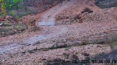


Few communities in Arkansas have a history as closely tied to the impoundment of the North Fork River as Henderson. Set on the shores of Norfork Lake in Baxter County, it lies amid the wooded hills of the Ozarks, a landscape shaped by coves, forest and water. Norfork Dam, completed in 1944, created the reservoir that defines the area today. Henderson is a quiet lakeside stop for boating and fishing, with Mountain Home nearby for services and dining. Discover other points of interest through webcams located across Henderson and the Norfork Lake area.
1 webcam
The Arkansas River, the Ozark Plateau and the Ouachita Mountains define much of Arkansas — their waterways, forests and fertile lowlands have long supported farming, timber and river trade. These coordinates lie near Conway in central Arkansas, northwest of Little Rock. Conway is home to the University of Central Arkansas, founded in 1907, and has grown into a regional centre for education and business. Across the state, terrain shifts from the Mississippi Alluvial Plain in the east to higher, wooded country in the west. Browse additional webcams from central Arkansas to extend your view of the Arkansas River country.
33 webcams
The Atlantic, Pacific and Gulf coasts define much of the United States — their ports, fisheries and trade routes have long tied the country’s economy to the wider world. Between them, the Rocky Mountains, Great Plains and Mississippi River basin form sharply different regions, from high western ranges to broad agricultural heartlands. Cities carry much of the national story: New York’s Statue of Liberty, a gift from France dedicated in 1886, remains an enduring symbol, while Washington, DC concentrates major federal institutions. Indigenous nations have shaped these lands for millennia, and their living cultures remain essential to the country’s identity. Find related webcams in the surrounding areas to build a fuller picture of the United States.
32K webcams