 Räyskälä: Räyskälä Aerospace Center
The landscape around Räyskälä is flat and edged by conifer forest, which has shaped both the built environment and local life. Räyskälä Aerospace Center occupies an open airfield in Kanta-Häme, where runways, taxiways and low hangars break the otherwise wooded terrain. The centre is associated with recreational flying, particularly gliding, and aviation has become a defining local tradition rather than a feature of a dense urban setting. Räyskälä lies in southern Finland’s lake-and-forest region, whose broad woodland tracts and scattered clearings give the area its spacious character. It is a distinctly Finnish aviation landscape: functional, low-rise and set apart from town streets.
Generated by AI
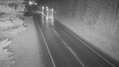

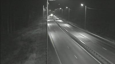
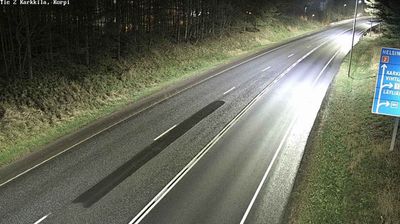
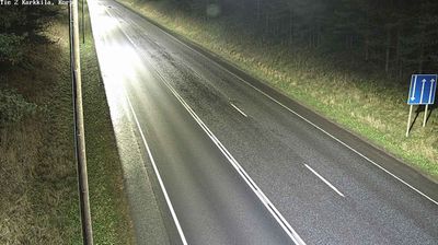

The forested glacial terrain of Kanta-Häme defines the setting of Räyskälä — sandy ridges, lakes and conifer woodland shape this small community in the municipality of Loppi. Räyskälä is best known for Räyskälä Airfield, a major Finnish centre for gliding and recreational aviation; sailplanes, light aircraft and skydiving have made flying part of the locality’s identity. Away from the airfield, the area belongs to the lake-and-forest countryside of southern Finland, where outdoor life follows the changing seasons rather than an urban timetable. Räyskälä provides an introduction to the quieter side of Kanta-Häme and Loppi’s rural surroundings. Explore nearby webcam locations that provide complementary perspectives on Räyskälä and Kanta-Häme.
1 webcam
Kanta-Häme has served as the historic heartland of Häme in southern Finland since the Middle Ages. Its gently rolling countryside is threaded by lakes and farmland, with Lake Vanajavesi forming a defining waterway around Hämeenlinna, the regional centre. The city’s Häme Castle, a medieval brick fortress beside the lake, recalls the period when Swedish rule extended into inland Finland. Beyond the city, woodland, fields and small settlements shape a measured rural character, while Liesjärvi National Park protects lakeside forest and traditional landscapes. Discover other points of interest through webcams located across Kanta-Häme.
35 webcams
The terrain of Finland ranges from low coastal plains along the Gulf of Bothnia to fells in Lapland, creating a country of forests, lakes and long northern distances. More than 180,000 lakes shape everyday life, while the Lakeland region is threaded with waterways and islands. Helsinki, on the Gulf of Finland, combines neoclassical landmarks around Senate Square with contemporary Finnish design. Farther north, the Sámi are Finland’s only recognised Indigenous people, and their culture remains closely connected to the Arctic region. In winter, snow and ice transform the north; in summer, long daylight extends outdoor life well into the evening. Continue through nearby webcams to explore different parts of Finland.
1.7K webcams