 Seftigen: Walalpgrat - Stockhorn - Nünenenflue - Gantrisch
Seftigen straddles the Gürbe in Switzerland’s canton of Bern, a position that has shaped it as a farming settlement in the broad Gürbe Valley. South of the village, the peaks of the Gantrisch range form a distinctive pre-Alpine skyline: Gantrisch reaches 2,176 metres, while Stockhorn rises to 2,190 metres. Nünenenflue and the Walalpgrat belong to this chain of ridges. Seftigen’s built-up centre, scattered farmsteads and cultivated slopes reflect the working landscape of the Bernese foothills. The community lies in the German-speaking part of the canton, between the city of Bern and the Bernese Alps; the Gantrisch Nature Park is known for woodland, pastures and moorland.
Generated by AI

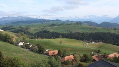
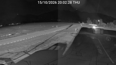
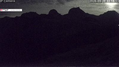

Few communities in the Bernese Mittelland have a history as closely tied to agriculture in the Gürbe valley as Seftigen. The municipality stands beside the Gürbe, a river flowing north through the broad Gürbetal towards the Aare, between the larger centres of Bern and Thun. First documented in 1228, Seftigen has kept the character of a rural settlement despite the valley’s close transport links. Farmland and farmsteads remain part of its setting, while the Reformed church forms a historic focal point in the village. Seftigen belongs to the Thun administrative district and represents the settled, working lowlands of the canton rather than a high-Alpine resort. Explore regional webcams to trace how the Gürbetal links Seftigen with the wider Bern region.
1 webcam
Built around the Aare River and routes across the Swiss Plateau, Bern grew into a canton connecting the federal capital with the Bernese Oberland. Its territory extends from Jura foothills and farmland through the Aare valley to the high Alps around the Eiger, Mönch and Jungfrau. The city of Bern, Switzerland’s federal capital, preserves an Old Town inscribed on UNESCO’s World Heritage List, while Thun and Interlaken lead towards Lakes Thun and Brienz. Urban institutions, dairy farming and established alpine resorts give the canton a notably broad Swiss character. View additional webcams nearby to better understand how Bern relates to its Alpine and plateau surroundings.
179 webcams
Switzerland stretches from the Jura Mountains in the northwest to the Alps in the south, encompassing a central plateau of cities, farms and lakes. The Rhine rises in the Swiss Alps, while Lake Geneva forms part of the country’s southwestern border. Zürich, Geneva and Basel are major urban centres, yet mountain railways and passes remain central to how many regions are experienced. Four national languages—German, French, Italian and Romansh—reflect Switzerland’s distinct cantonal identities. The Matterhorn above Zermatt is among Europe’s most recognisable peaks, and the 1291 Federal Charter is closely associated with the country’s founding tradition. Continue through nearby webcams to explore different parts of Switzerland.
1K webcams