 Heia: E6
Built around the E6 transport corridor, Heia grew into a small settlement in the uplands of Målselv. It lies in Troms amid low, rounded hills, open scrubland and birch woodland, in an interior landscape beyond Norway’s coastal fjords. The Målselva river is a defining feature of the wider district. The E6 is Norway’s main north–south road, giving Heia a practical role for local traffic and longer journeys between the Tromsø area, Bardufoss and the northern interior. Bardufoss, a regional centre with an airport and the Norwegian Armed Forces’ Bardufoss Air Station, is the better-known focal point in this part of Troms.
Generated by AI
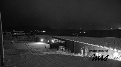
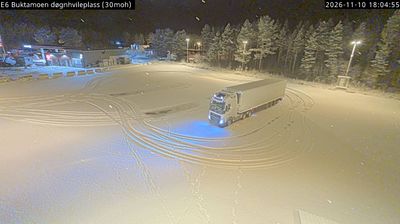

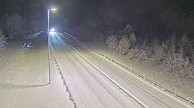
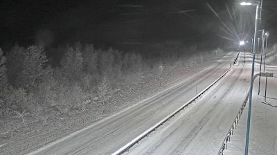


Heia combines a quiet rural setting with the pronounced seasonal rhythm of Arctic Norway in a way that reflects its far-northern position in Troms og Finnmark. At more than 69 degrees north, the area experiences the long summer daylight and winter darkness that shape everyday life across this part of the country. Forested slopes, open valleys and glacially formed terrain define the wider interior between the Norwegian Sea coast and the Finnish border. Sámi culture is also an enduring part of Troms og Finnmark’s identity. Browse other webcams across Troms og Finnmark to place this Arctic setting in a wider geographic context.
2 webcams
Troms occupies a mountainous Arctic coastal and inland area in northern Norway, well above the Arctic Circle. Deep fjords cut into a terrain of islands, broad valleys and rugged high ground, while the Lyngen Alps rise beside Lyngenfjord in the east of the region. Tromsø, the largest city in northern Norway, is an important centre for Arctic research, education and culture. Sámi heritage is also an essential part of Troms, reflected in place names, reindeer husbandry and living traditions across the north. Explore additional webcams nearby to understand how Troms connects with northern Norway’s fjords, mountains and islands.
96 webcams
Norway has served as a seafaring link between the North Atlantic and northern Europe since the Viking Age. Its long coastline is cut by fjords, while the Lofoten archipelago rises sharply from the Norwegian Sea and the mountains of Jotunheimen include Galdhøpiggen, Norway’s highest peak. Bergen’s Bryggen, the former Hanseatic wharf, recalls centuries of maritime trade. Farther north, Sámi culture remains an essential part of the country’s identity. Explore nearby webcam locations that provide complementary perspectives on Norway’s coast, fjords and mountain regions.
1.5K webcams