 Checheche: Green Fuel Chisumbanje Ethanol plant

The landscape around Chisumbanje is low-lying and shaped by commercial agriculture, which has influenced both the built environment and local life. In Zimbabwe’s southeastern Lowveld, the Green Fuel Chisumbanje ethanol plant forms the industrial centre of an extensive sugarcane-growing estate. The operation produces ethanol from sugarcane and has made the area a nationally significant site in Zimbabwe’s policy of blending biofuel with petrol. Its fields, processing facilities and workers’ settlements place a major agro-industrial enterprise within a sparsely populated part of Manicaland, close to Mozambique. Chisumbanje differs markedly from the highland scenery often associated with Manicaland: agriculture and processing infrastructure define this open lowveld locality.
Generated by AI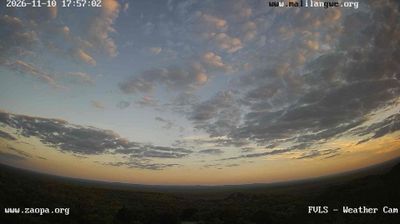

The Save Valley defines the setting of Checheche — the low, hot terrain of southeastern Manicaland shapes this small rural centre and its ties with surrounding farms and settlements. Checheche is in Chipinge District, in Zimbabwe’s eastern borderlands near Mozambique. It lies in Ndau country, a Shona-related linguistic and cultural region whose identity extends across the international border. The settlement is a useful point of reference for understanding the agricultural lowveld beyond the Eastern Highlands. Explore additional webcams nearby to see how Checheche and southeastern Manicaland connect with their wider surroundings.
1 webcam
The Eastern Highlands define much of Manicaland – their wetter slopes support tea estates, timber plantations and farming, setting this eastern Zimbabwean province apart from the drier interior. Along the Mozambique border, Nyanga and Chimanimani bring granite ridges, forest, waterfalls and high moorland into the national landscape. Mount Nyangani, at 2,592 metres Zimbabwe’s highest peak, rises in Nyanga National Park. Mutare, the provincial capital, is a major trading centre on routes towards Mozambique. Honde Valley is known for tea cultivation, while Shona culture shapes everyday life across the province. Continue with other webcams from the area to see how this part of eastern Zimbabwe connects regionally.
4 webcams
Zimbabwe occupies a landlocked position in southern Africa. The Zambezi River forms much of its northern frontier, and Victoria Falls, where the river drops into the Batoka Gorge, is among the country’s defining landmarks. Granite outcrops and open grassland in Matobo National Park contrast with the forested slopes of the Eastern Highlands near Mozambique. Great Zimbabwe’s dry-stone walls mark a medieval urban centre that gave the modern nation its name, and the site is listed by UNESCO. Wildlife reserves, including Hwange National Park, are central to Zimbabwe’s identity, while Harare is its capital and largest city. See how Zimbabwe fits within southern Africa by browsing webcams nearby.
22 webcams