 Yuanlin City: Zhongshan Road
Yuanlin City has served as a market town in Changhua County since the Qing era. Set between the Changhua Plain and the foothills of the Bagua Plateau, it developed as a commercial centre for the agricultural settlements of central Taiwan. Zhongshan Road is one of its principal urban arteries, carrying local traffic through a densely built district of shops, homes and public services. Yuanlin is administered as a county-administered city and remains closely tied to street commerce and the surrounding plain. Rail and road connections also place it within the wider urban network of Changhua County.
Generated by AI
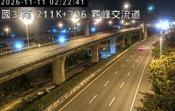
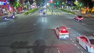
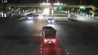
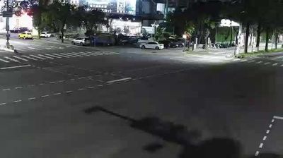
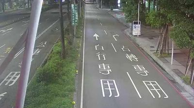
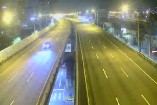
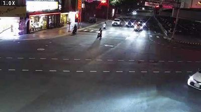
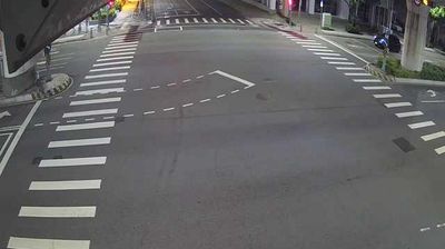

Yuanlin City is best known in Changhua County for its setting at the foot of the Baguashan Range, where Taiwan’s western plain begins to rise toward the central uplands. Located on the island’s western transport corridor, it is one of Changhua’s principal urban and commercial centres. Agriculture remains part of the local identity: orchards and fields in the surrounding plain supply markets that have long served the town. Yuanlin developed alongside the railway on Taiwan’s western line, and its station still anchors a compact centre of shops, temples and everyday street food. Its position introduces a densely settled side of central Taiwan, away from the high-mountain interior. Find related webcams in Changhua County and central Taiwan to build a fuller picture of Yuanlin City.
1 webcam
The terrain of Changhua County ranges from low, intensively farmed coastal plains along the Taiwan Strait in the west to the wooded slopes of the Bagua Plateau in the east, giving this central-western county a strongly rural character. The Zhuoshui River marks much of its southern edge, carrying water from Taiwan’s central mountains toward the coast. Changhua City is the county seat, while Lukang preserves the character of a former trading port, with temples and traditional streets recalling its maritime past. On the Bagua slopes above Changhua, the Great Buddha is a familiar local landmark. Explore nearby webcam locations that provide complementary perspectives on Changhua County.
2 webcams
Taiwan's terrain ranges from fertile plains along the western coast to steep mountains in the interior, concentrating much of its population on the lowlands. The Central Mountain Range runs through the island, while the Pacific meets a more rugged eastern shoreline and the Taiwan Strait lies to the west. Taipei combines contemporary city life with major cultural institutions: the National Palace Museum preserves an extensive collection of Chinese imperial art. Across Taiwan, night markets are central to everyday eating, serving regional snacks alongside familiar staples. Tea cultivation, especially in upland areas, remains an enduring part of the island's food culture. Explore nearby locations that provide complementary perspectives on Taiwan.
94 webcams