 St. Barbara im Murztal: VK_S06_058,176-V0-FL
St. Barbara im Mürztal has served as a municipality in Styria since 2015, when Mitterdorf im Mürztal, Veitsch and Wartberg im Mürztal were united. It lies in the Mürz valley, an Alpine corridor shaped by the river on its course to the Mur. The S6 Semmering Expressway follows this route, making the community part of an important road connection through Upper Styria. Settlement is spread between transport land on the valley floor and wooded slopes, rather than centred on one historic core. The name St. Barbara recalls the mining tradition of the former Veitsch community, where magnesite mining shaped local industry for generations. Forest, villages and major transport infrastructure meet closely in this inhabited Alpine valley.
Generated by AI


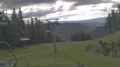
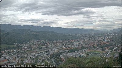
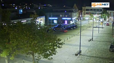
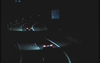

The landscape around St. Barbara im Mürztal is a narrow, forested Alpine valley along the Mürz, and it has shaped both the settlement pattern and local economy. The municipality lies in Upper Styria’s Mürztal, where rail and road routes follow the river between steep slopes; Mitterdorf, Veitsch and Wartberg developed as distinct valley communities. Veitsch has long been associated with magnesite mining and refractory materials, giving this rural district a lasting industrial dimension. St. Barbara im Mürztal was established in 2015 through the merger of those three municipalities. Continue with other webcams from Styria to trace how the Mürztal connects with the rest of the province.
5 webcams
The terrain of Styria ranges from Alpine ridges in the north and west to vine-covered hills in the southeast, giving Austria’s second-largest province a distinctly varied character. The Mur is its principal river, flowing through Graz, the provincial capital and largest city. Graz’s Old Town and Schloss Eggenberg are jointly inscribed on UNESCO’s World Heritage List, linking Renaissance and Baroque architecture to the region’s urban identity. Southern Styria is known for vineyards and pumpkin-seed oil, while forests and pastureland shape much of the interior. Discover how Styria connects with the wider Austrian landscape by browsing webcams nearby.
360 webcams
Austria stretches from the Bohemian Massif along its northern edge to the Carnic Alps on the Italian border, encompassing high Alpine ranges and the Danube lowlands. The Danube links cities including Linz and Vienna, while the Grossglockner, at 3,798 metres, is the country’s highest mountain. Vienna developed for centuries as the seat of the Habsburg court, leaving imperial architecture around the Hofburg and Schönbrunn Palace. Salzburg is closely associated with Wolfgang Amadeus Mozart, who was born there in 1756. Alpine Tyrol, wine-growing areas east of Vienna and the lakes of Salzkammergut add markedly different regional identities. Browse other webcams across Austria to place this setting in a wider geographic context.
2.6K webcams