 Mesquer: Plage de Lanséria
Plage de Lanséria occupies a sheltered curve of the Atlantic coast in Pays de la Loire. This sandy shore at Quimiac, in the commune of Mesquer, is shaped by calm inshore waters, small moorings and low coastal development rather than a dense resort frontage. It lies on the Guérande Peninsula, between the Loire estuary and southern Brittany’s maritime coast. The nearby Mès salt marshes are part of a long-established regional salt-making landscape, where seawater is traditionally channelled through shallow ponds. Lanséria suits visitors looking for a quieter section of the Côte d’Amour, with the open Atlantic close at hand and the working character of a small coastal community still present.
Generated by AI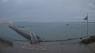
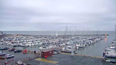
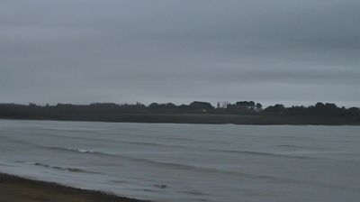
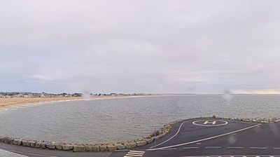

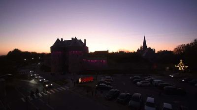
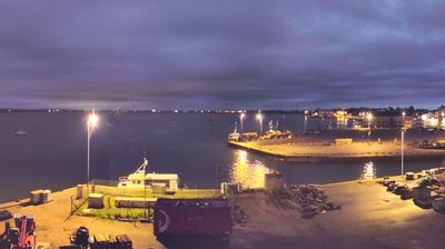

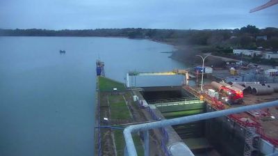
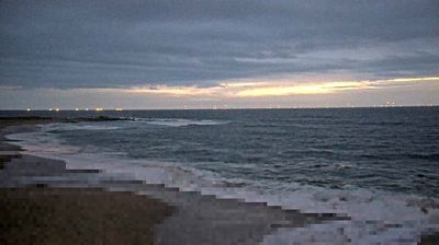

Mesquer is best known in Pays de la Loire for its traditional salt marshes, part of the Guérande salt-making area. On France’s Atlantic coast in Loire-Atlantique, the commune combines low-lying marshland with coves and sandy beaches; Quimiac is its principal seaside locality. Salt was historically gathered by directing seawater through a network of shallow basins, a practice that has shaped the local terrain. Mesquer lies between the coastal communes of Piriac-sur-Mer and Assérac, close to the larger marshes around Guérande. Discover additional webcams nearby to see how Mesquer’s Atlantic coast connects with the Guérande Peninsula.
2 webcams
The Loire River defines much of Pays de la Loire — its broad valley has long supported vineyards, market gardening and river towns. This western French region extends from the Atlantic coast to inland farmland and includes Nantes, Angers, Le Mans and the Vendée. In Angers, the medieval Château d’Angers holds the Apocalypse Tapestry, a major late-medieval work commissioned by Louis I, Duke of Anjou. Nantes developed as an important Loire port, while the river is also followed by the Loire à Vélo cycling route. Continue through nearby webcams to explore different parts of Pays de la Loire.
78 webcams
The Atlantic and Mediterranean coastlines, together with the Alps, Pyrenees and broad river basins, define much of France — they support maritime trade, farming, wine regions and travel throughout the year. The Seine runs through Paris, where the Eiffel Tower and the Louvre are among Europe’s most recognised landmarks. The Loire Valley is known for Renaissance châteaux, while Mont-Saint-Michel rises from a tidal bay in Normandy. Regional food traditions are equally distinctive, from Breton seafood to Provençal cooking, with bread, cheese and wine central to everyday life. France’s global cultural influence is evident in its language, literature, fashion and cinema. View additional webcams nearby to better understand how France’s coasts, plains and mountain borders relate to their surroundings.
2.2K webcams