 Vestmannaeyjabær: Golfklúbbur Vestmannaeyja
Among the places of Iceland’s Southern Region, Vestmannaeyjabær stands out for Golfklúbbur Vestmannaeyja, set in the steep-sided Herjólfsdalur valley on Heimaey. Heimaey is the largest inhabited island of the Vestmannaeyjar archipelago, lying in the North Atlantic off Iceland’s south coast. The course occupies ground beneath volcanic cliffs, giving the island a sporting setting distinct from mainland Iceland. The community was profoundly affected by the 1973 Eldfell eruption, when lava destroyed homes and threatened the harbour; Eldheimar museum documents that event. Herjólfsdalur also hosts Þjóðhátíð, an annual outdoor festival held during the first weekend of August.
Generated by AI
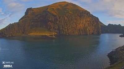
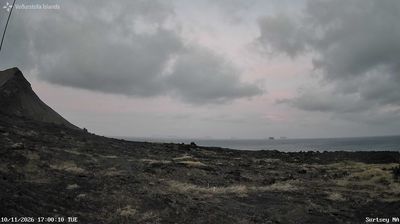



Vestmannaeyjabær has served as a fishing centre in Iceland’s Southern Region since the early 20th century. Set on Heimaey, the largest island in the Vestmannaeyjar archipelago in the North Atlantic, it occupies a coast shaped by volcanoes and important seabird colonies. The 1973 eruption of Eldfell forced Heimaey’s evacuation and sent lava towards the harbour; the Eldheimar museum recounts the event through excavated houses. Fishing remains central to local life, while ferry links connect the islands with Iceland’s south coast. Continue through nearby webcams to explore different parts of Vestmannaeyjar.
3 webcams
Iceland’s Southern Region extends from the Atlantic coast to the Vatnajökull ice cap, encompassing black-sand shores, glacial outwash plains and volcanic highlands. This broad part of the country is crossed by rivers descending from the interior, including the Þjórsá, Iceland’s longest river. Vatnajökull National Park protects extensive glacier and volcanic terrain, while the south coast bears the marks of eruptions, floods and ocean weather. Þingvellir, a UNESCO World Heritage Site, is where the Alþingi, Iceland’s parliament, first assembled in 930. Farms and small towns lie between mountains and sea, in a region where conditions can change rapidly. Continue through nearby webcams to explore different parts of Iceland’s Southern Region.
91 webcams
Iceland occupies a volcanic North Atlantic island on the Mid-Atlantic Ridge, between Europe and North America. Glaciers, black-sand shores and active geothermal areas form a terrain in constant dialogue with the weather; Vatnajökull is Europe’s largest glacier by volume. The Golden Circle links Þingvellir National Park, the Geysir geothermal area and Gullfoss waterfall, while Reykjavík concentrates much of the country’s contemporary culture and design. At Þingvellir, the Alþingi first assembled in 930. Fishing, wool knitwear and geothermal energy remain central to Icelandic life. Find related webcams in the surrounding area to build a fuller picture of Iceland.
627 webcams