 District of Košice IV: Palackého - Aupark Košice - Jantárová - Štúrova
Tucked into the Košice Basin, the Aupark Košice area is a place whose character is shaped by broad road and tram corridors linking central Košice with its southern districts. Jantárová, Palackého and Štúrova meet beside the shopping centre, forming a key urban junction near the edge of the historic core. Offices, retail buildings, pedestrian crossings and public-transport tracks create a distinctly modern commercial setting. A short walk north leads towards Hlavná ulica, Košice’s principal historic street, where St Elisabeth Cathedral anchors the city centre. The Hornád flows through the eastern side of Košice, beyond this dense central area.
Generated by AI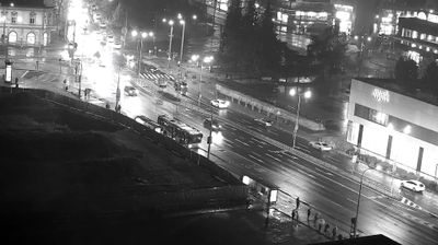
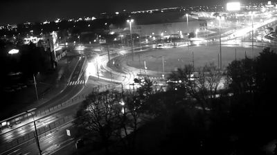
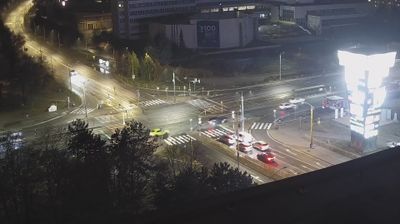







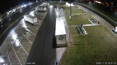

Built around post-war housing estates and older settlements along the Hornád River, the District of Košice IV developed into a varied, predominantly residential part of Slovakia’s second-largest city. Its six boroughs include Juh, Nad jazerom, Krásna, Barca, Šebastovce and Vyšné Opátske, combining dense urban neighbourhoods with areas that retain a more suburban character. The Hornád forms an important thread through this side of Košice, while the city centre is close by. Central Košice is home to St Elisabeth Cathedral, Slovakia’s largest church, and the city held the title of European Capital of Culture in 2013. Continue through nearby webcams to explore different parts of Košice and eastern Slovakia.
2 webcams
The Region of Košice combines the urban energy of Slovakia’s second-largest city with the broad, quieter landscapes of the east in a way that reflects its position between the Slovak Ore Mountains and the lowlands near Hungary. Košice is centred on Hlavná ulica, where St Elisabeth Cathedral forms the Gothic focal point of the historic core. Beyond the city, the Hornád River crosses a region of wooded hills, farmland and karst terrain. Slovak Karst National Park, known for its extensive cave systems, adds a distinct geological dimension to this corner of Slovakia. Browse additional webcams from the surrounding area to extend your view of eastern Slovakia.
26 webcams
Slovakia is best known internationally for the High Tatras, whose granite summits form the country’s most celebrated mountain landscape. Gerlachovský štít, at 2,655 metres, is the highest peak in Slovakia and in the Carpathians. The Danube runs past Bratislava, where Bratislava Castle stands on a hill above the river, linking the capital to Central Europe’s major waterway. Beyond the cities, forests, karst terrain and small historic towns define much of the country. Slovakia’s long folk tradition is also represented by the fujara, a large shepherd’s flute recognised by UNESCO. Browse additional webcams from the surrounding area to extend your view of the High Tatras and the Danube region.
281 webcams