 Fladnitz an der Teichalm: Teichalmlifte - shredderpark Teichalm
The landscape around Teichalm is a broad upland of alpine pasture and forest, which has shaped both the built environment and local life. In Styria’s Almenland region, Teichalm is defined less by a compact settlement than by open grazing ground and scattered facilities for outdoor recreation. Teichalmsee lies at the heart of this plateau, while the Teichalmlifte serve the local ski area and Shredderpark Teichalm forms part of its mountain-biking infrastructure. Cattle grazing remains a traditional use of these high pastures, giving the area its characteristic open land pattern. Teichalm presents the rural, recreation-oriented character of the Styrian uplands.
Generated by AI
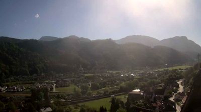

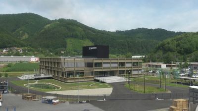



Fladnitz an der Teichalm occupies a valley below the Teichalm alpine pasture in Styria’s Grazer Bergland. The municipality belongs to Naturpark Almenland, a region defined by working mountain meadows, woodland and scattered farmsteads rather than large resorts. Above the village, Teichalm has broad grazing land and Teichalmsee, while routes across the surrounding hills link it with other Almenland communities. The parish church of St Nicholas is a local cultural landmark. Fladnitz is a practical base for walks, cycling and discovering the rural character of eastern Styria. See how Fladnitz an der Teichalm fits into the wider Almenland and Styria by browsing webcams nearby.
1 webcam
The terrain of Styria ranges from Alpine ridges in the north and west to vine-covered hills in the southeast, giving Austria’s second-largest province a distinctly varied character. The Mur is its principal river, flowing through Graz, the provincial capital and largest city. Graz’s Old Town and Schloss Eggenberg are jointly inscribed on UNESCO’s World Heritage List, linking Renaissance and Baroque architecture to the region’s urban identity. Southern Styria is known for vineyards and pumpkin-seed oil, while forests and pastureland shape much of the interior. Discover how Styria connects with the wider Austrian landscape by browsing webcams nearby.
365 webcams
Austria stretches from the Bohemian Massif along its northern edge to the Carnic Alps on the Italian border, encompassing high Alpine ranges and the Danube lowlands. The Danube links cities including Linz and Vienna, while the Grossglockner, at 3,798 metres, is the country’s highest mountain. Vienna developed for centuries as the seat of the Habsburg court, leaving imperial architecture around the Hofburg and Schönbrunn Palace. Salzburg is closely associated with Wolfgang Amadeus Mozart, who was born there in 1756. Alpine Tyrol, wine-growing areas east of Vienna and the lakes of Salzkammergut add markedly different regional identities. Browse other webcams across Austria to place this setting in a wider geographic context.
2.6K webcams