 Pralognan-la-Vanoise: Dôme de Polset
Dôme de Polset combines a broad, glacier-clad summit with abrupt dark-rock ridges in a way that reflects its position in the high Vanoise Alps. Above Pralognan-la-Vanoise, it forms part of the Polset massif, a remote Alpine area of cirques, steep valleys and glaciers. The summit lies within Vanoise National Park, created in 1963 as France’s first national park; its protected high country is important for Alpine wildlife and extensive walking terrain. Pralognan-la-Vanoise, in Savoie’s Tarentaise valley, developed around mountain pastoralism and mountaineering, while remaining a compact resort settlement rather than a large urban ski centre. Dôme de Polset sets the tone for one of the French Alps’ most rugged high-mountain districts.
Generated by AI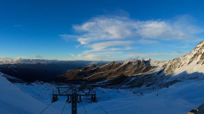



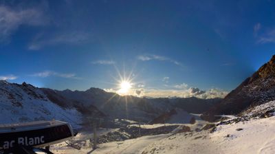

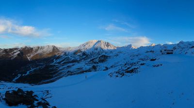
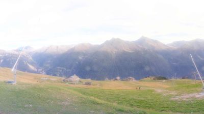

The Doron de Pralognan defines the setting of Pralognan-la-Vanoise — the stream follows an Alpine valley below the Vanoise massif, while Grande Casse rises above the surrounding high country. Set in Savoie’s Tarentaise area, the commune is closely tied to mountain sports: skiing in winter and walking, climbing and mountaineering when the snow recedes. Vanoise National Park, founded in 1963 as France’s first national park, protects extensive high-altitude terrain around the settlement. Its presence keeps Pralognan-la-Vanoise closely connected to the mountains that shape each season. Move on to other webcams in Auvergne-Rhône-Alpes to compare Alpine valleys and settlements around Pralognan-la-Vanoise.
6 webcams
Auvergne-Rhône-Alpes is widely known in France for the French Alps, the major mountain chain along its eastern edge. This vast administrative region also extends west across the Massif Central and follows the Rhône valley, bringing together volcanic uplands, river corridors and major cities. Lyon, the regional capital, stands between the Rhône and Saône, and its historic centre is inscribed on UNESCO’s World Heritage List. Near these coordinates, northern Ardèche lies close to the wooded hills of the Pilat area, where the Rhône corridor forms a transition between upland country and valley settlements. Alpine cheeses and Rhône valley wines reflect the region’s varied terrain. Browse additional webcams from the surrounding area to extend your view of Auvergne-Rhône-Alpes.
769 webcams
The Atlantic and Mediterranean coastlines, together with the Alps, Pyrenees and broad river basins, define much of France — they support maritime trade, farming, wine regions and travel throughout the year. The Seine runs through Paris, where the Eiffel Tower and the Louvre are among Europe’s most recognised landmarks. The Loire Valley is known for Renaissance châteaux, while Mont-Saint-Michel rises from a tidal bay in Normandy. Regional food traditions are equally distinctive, from Breton seafood to Provençal cooking, with bread, cheese and wine central to everyday life. France’s global cultural influence is evident in its language, literature, fashion and cinema. View additional webcams nearby to better understand how France’s coasts, plains and mountain borders relate to their surroundings.
2.2K webcams