 Musakirik Mahallesi: Çambaşı Plateau
The Pontic Mountains define the setting of Çambaşı Plateau — this upland settlement in Ordu Province is shaped by open highland terrain and a compact centre of shops, roads and homes. Known in Turkish as Çambaşı Yaylası, it belongs to the Black Sea region’s long-standing yayla tradition, in which communities use mountain pastures during the warmer months. The plateau lies inland from the Black Sea coast above Ordu, where the coastal lowlands give way to higher ground. Its central square and everyday commercial buildings give the settlement a working local character, while the surrounding uplands support grazing and outdoor recreation. Çambaşı is also associated with a ski centre, extending its role beyond pastoral life.
Generated by AI
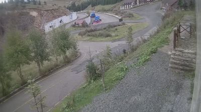


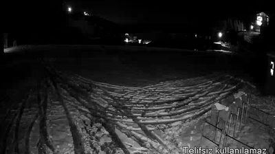


Musakirik Mahallesi straddles the rolling uplands of inland Ordu Province in Turkey’s Black Sea region, where rugged terrain has encouraged scattered neighbourhood settlements rather than a single urban centre. It lies in the transition zone between the Black Sea coast and the Anatolian interior, a setting shaped by wooded slopes, small-scale farming and winding rural roads. Ordu is closely associated with hazelnut cultivation, a defining part of the province’s agricultural identity. Continue with other webcams from Ordu Province to see how this inland part of the Black Sea region connects regionally.
4 webcams
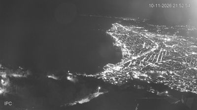
Ordu stretches from the Black Sea coast to the Pontic Mountains, encompassing humid coastal slopes, hazelnut orchards and a rugged inland highland. The provincial capital stands beside the Melet River, whose waters reach the sea just west of the urban centre. Above it, Boztepe is a prominent hill and a familiar point of orientation over the coast. Hazelnuts are central to the local economy and food culture; Ordu is one of Turkey’s foremost producing areas. The coast has a mild, rainy Black Sea climate, while the interior becomes cooler and more mountainous. Continue to other webcams in the region to compare landscapes and settings around Ordu.
10 webcams
Turkey stretches from the Black Sea coast to the Mediterranean shore, encompassing the Anatolian Plateau, rugged mountain belts and the indented Aegean coastline. The Bosporus divides Istanbul between Europe and Asia, while historic districts hold landmarks including Hagia Sophia and the Blue Mosque. Inland, Cappadocia is known for valleys formed in soft volcanic rock and for rock-cut churches; farther west, the ruins of Ephesus recall the country’s place in the classical world. Regional character also defines Turkish cuisine, from Aegean olive-oil dishes to tea served throughout daily life. Continue with other webcams from the area to see how this part of Anatolia and the eastern Mediterranean connects regionally.
64 webcams