 Port-Vendres: Plage de Paulilles
The Mediterranean Sea defines the setting of Plage de Paulilles — a sheltered cove on the rocky Côte Vermeille, where low, scrub-covered hills descend to a small sandy shore. It lies south of Port-Vendres, close to the Spanish border, within a stretch of coast shaped by coves and vineyards. Paulilles is also the site of a former dynamite factory associated with Alfred Nobel. After industrial use ended, the coastal estate was conserved and opened to the public, with parts of the factory complex retained as a reminder of its past. The beach and surrounding headlands form a quieter counterpoint to the working harbour at Port-Vendres, while the wider Côte Vermeille continues towards Catalonia.
Generated by AI

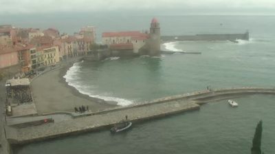
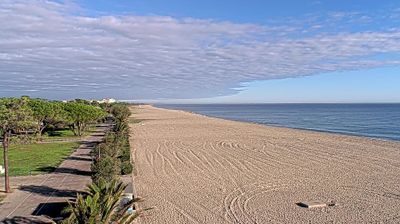




Few towns in Occitanie have a history as closely tied to Mediterranean maritime trade and naval activity as Port-Vendres. Set on the Côte Vermeille near the Spanish border, it occupies a deep, sheltered harbour where the Pyrenees meet the Mediterranean. Its quays still support fishing and commercial traffic, giving the centre the character of a working port rather than a purely resort town. Above the harbour, the 18th-century Obelisk of Port-Vendres, erected in honour of Louis XVI, recalls the royal programme that reshaped the port. Nearby coves, vineyards and the fortified landscape around Collioure underline the close relationship between this coast and the frontier. View additional webcams nearby to better understand how Port-Vendres and the Côte Vermeille relate to the Mediterranean coast.
1 webcam
Occitania occupies a broad southern belt in France, extending from the Massif Central and the Pyrenees to the Mediterranean coast. These coordinates lie in the inland Haut-Languedoc area, where wooded hills and reservoirs around the upper Agout contrast with coastal plains farther east. Toulouse, the regional capital, stands on the Garonne and is associated with the Canal du Midi, a 17th-century waterway linking the city with the Mediterranean and listed as a UNESCO World Heritage Site since 1996. Roman sites, fortresses connected with the Cathar past, and the Occitan language tradition reveal the many layers of southern French identity. Continue through nearby webcams to explore different parts of Occitania.
218 webcams
The Atlantic and Mediterranean coastlines, together with the Alps, Pyrenees and broad river basins, define much of France — they support maritime trade, farming, wine regions and travel throughout the year. The Seine runs through Paris, where the Eiffel Tower and the Louvre are among Europe’s most recognised landmarks. The Loire Valley is known for Renaissance châteaux, while Mont-Saint-Michel rises from a tidal bay in Normandy. Regional food traditions are equally distinctive, from Breton seafood to Provençal cooking, with bread, cheese and wine central to everyday life. France’s global cultural influence is evident in its language, literature, fashion and cinema. View additional webcams nearby to better understand how France’s coasts, plains and mountain borders relate to their surroundings.
2.2K webcams