 Qotırbulaq
 combines densely forested mountain slopes with more open, rolling foothills in a way that reflects its position on the northern flank of the Trans-Ili Alatau. This range forms part of the northern Tian Shan, rising south of Almaty across southeastern Kazakhstan. Conifer woodland, rocky outcrops and steep gullies shape the terrain around the settlement, while cleared corridors and a chairlift trace a developed recreation area on the slopes. Roads wind through the folds of the foothills rather than across a flat plain. Qotırbulaq belongs to Almaty Region, where access to the Trans-Ili Alatau has made mountain recreation an important part of the area’s identity. Relief and forest determine how routes and buildings fit the land.
Generated by AI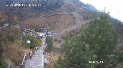
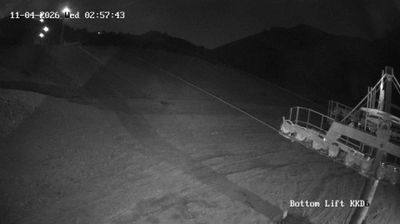



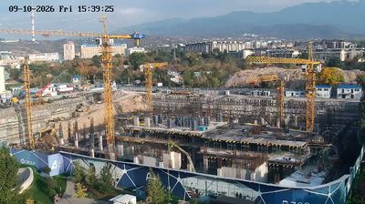

The landscape around Qotırbulaq is a gently inclined plain north of the Trans-Ili Alatau, which has shaped both the settlement pattern and local economy. The mountain range forms the southern horizon of this part of southeastern Kazakhstan, while the wider lowland connects toward Almaty and the Ili River basin. A sharply continental climate brings pronounced seasonal contrasts to the area. Nearby Almaty, Kazakhstan’s largest city and national capital until 1997, remains the region’s main cultural and economic centre. Browse other webcams across Almaty Region to place this setting in a wider geographic context.
1 webcam
Almaty Region is renowned in Kazakhstan for the snow-fed Ile Alatau range, the northern rim of the Tian Shan. Its territory reaches far beyond the mountains: toward Lake Balkhash, the land opens into dry steppe and desert, while the Ili River is one of the lake’s main inflows and forms a broad delta. The contrast between high relief and lowland basins defines much of the region’s character, with seasonal snowmelt feeding rivers and wetlands below. The UNESCO-listed Petroglyphs within the Archaeological Landscape of Tamgaly preserve Bronze Age rock carvings and later monuments. Browse other webcams across Almaty Region to place this setting in a wider geographic context.
4 webcams
Kazakhstan combines nomadic steppe heritage with a rapidly modernising urban identity in a way that reflects its position between Europe and Central Asia. The country stretches from the Caspian Sea in the west across immense grasslands to the Altai and Tian Shan mountain systems in the east and southeast. Astana, its capital, is known for bold contemporary architecture, while Almaty lies near the northern Tian Shan foothills. In the south, Turkistan is home to the Mausoleum of Khoja Ahmed Yasawi, a major monument of Timurid architecture and a UNESCO World Heritage site. Baikonur Cosmodrome launched the first human into space in 1961. Discover other points of interest through webcams located across Kazakhstan.
18 webcams