 Tropoje: Qafë Morinë
Qafë Morinë combines the practical character of an international road crossing with the quiet, wooded terrain of the Albanian Alps, reflecting its borderland position between Albania and Kosovo. It lies in the Tropojë area of northern Albania, near the route connecting Bajram Curri with Gjakova in Kosovo. The crossing is an important land link for regional travel, trade and family connections between the two countries. Rather than being defined by monuments, Qafë Morinë is shaped by its wide road corridor, border infrastructure and low forested hills. Tropojë forms part of Albania’s northern highland region, where Albanian-speaking communities on both sides of the border retain close cultural and family ties.
Generated by AI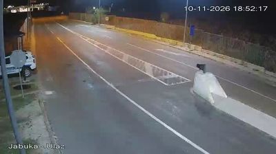
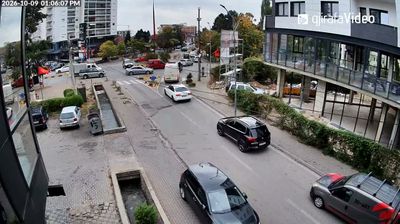


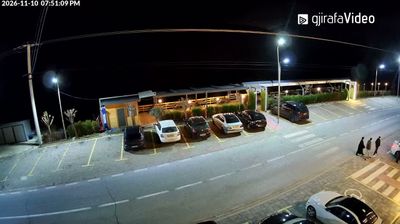
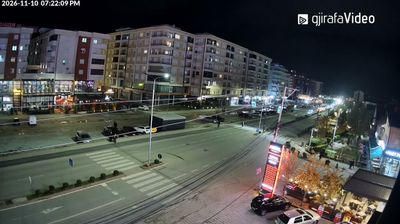
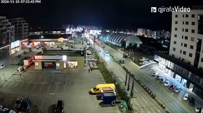

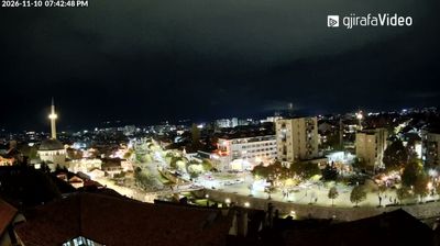

The Albanian Alps define the setting of Tropojë — steep highland valleys and river corridors shape settlement and travel across this northern border region. The Valbonë River runs through the wider municipality on its way to the Drin, while the rugged Valbonë Valley lies among the area’s best-known mountain landscapes. Tropojë belongs to Albania’s Gheg-speaking north, where the lahuta, a single-stringed traditional instrument, remains a potent symbol of epic oral traditions. Roads linking the area with Kosovo underscore its longstanding cross-border connections. Continue through nearby webcams to explore different parts of Northern Albania.
3 webcams
The Drin River and the Albanian Alps define much of Northern Albania – their valleys concentrate settlement and agriculture, while the Drin’s dams are central to Albania’s power supply. The regional centre of Shkodër stands near Lake Shkodër, shared with Montenegro, and has long been one of Albania’s leading cultural cities. Rozafa Castle, on a hill above the confluence of the Drin and Buna rivers, is its best-known historic landmark. Farther north, rugged mountain communities contrast with the Adriatic lowlands around the Buna delta; roads link these varied landscapes with Kosovo and Montenegro. Browse additional webcams from the surrounding area to extend your view of Northern Albania.
9 webcams
Mountain ranges define much of Albania — steep terrain has concentrated settlements and transport routes in valleys and along the coastal plain, while rivers such as the Drin support hydropower. The Albanian Alps rise in the north, and the Adriatic and Ionian coasts shape the country’s western and southern shores. Tirana is the capital and largest city, while Berat and Gjirokastër are UNESCO World Heritage cities noted for their historic urban fabric. Albania’s Mediterranean setting also appears in olive growing, coastal cuisine and cultural influences from the Balkans, the Ottoman world and Italy. Explore nearby webcam locations that provide complementary perspectives on Albania’s mountains, towns and coast.
15 webcams