 Horozluhan Mahallesi: Konya Science Center - Ankara Caddesi
Among the urban districts of Central Anatolia, Horozluhan Mahallesi stands out for the Konya Science Center beside Ankara Caddesi. This northern part of Konya lies on the Central Anatolian Plateau, where the city’s broad, level urban fabric extends away from its historic core. Opened in 2014, the science centre was Turkey’s first science centre supported by TÜBİTAK, the national scientific research council. Its interactive exhibitions and planetarium give the area an educational role beyond the surrounding commercial and transport corridors. Ankara Caddesi is a major approach to Konya, while planted public spaces soften this road-oriented setting.
Generated by AI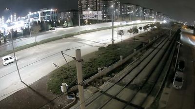
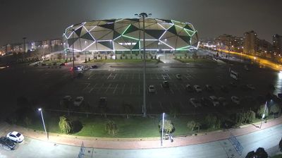
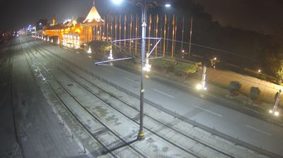
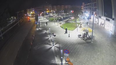
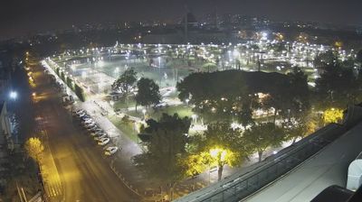

The terrain around Horozluhan Mahallesi is a broad, semi-arid stretch of the Konya Plain, which has shaped both the district’s low-rise layout and its role in the local economy. This northern part of metropolitan Konya is defined largely by workshops, wholesale trade and transport connections rather than the city’s historic centre. Konya was a major Seljuk capital in Anatolia, and the Mevlana Museum in the centre remains its foremost cultural landmark, associated with Jalal al-Din Rumi. Horozluhan Mahallesi provides an urban counterpoint to the monuments, markets and religious heritage closer to the centre. Explore nearby webcam locations that provide complementary perspectives on Konya and the central Anatolian plain.
1 webcam
The broad Konya Plain defines much of Konya — its dry continental climate has long supported grain farming and lends central Anatolia an expansive, open character. Konya city was the capital of the Seljuk Sultanate of Rum in the 12th and 13th centuries, and its surviving Seljuk monuments remain central to its identity. The Mevlana Museum, built around the tomb of the poet and mystic Jalal al-Din Rumi, is an important place of pilgrimage and a focus of the Mevlevi tradition, known for the sema ceremony. Beyond the city, the province reaches toward Lake Tuz, one of Turkey’s largest saline lakes. Continue through nearby webcams to explore different parts of Konya.
8 webcams
Turkey stretches from the Black Sea coast to the Mediterranean shore, encompassing the Anatolian Plateau, rugged mountain belts and the indented Aegean coastline. The Bosporus divides Istanbul between Europe and Asia, while historic districts hold landmarks including Hagia Sophia and the Blue Mosque. Inland, Cappadocia is known for valleys formed in soft volcanic rock and for rock-cut churches; farther west, the ruins of Ephesus recall the country’s place in the classical world. Regional character also defines Turkish cuisine, from Aegean olive-oil dishes to tea served throughout daily life. Continue with other webcams from the area to see how this part of Anatolia and the eastern Mediterranean connects regionally.
66 webcams