 Zhunan Town: Formosa Freeway
Few places in northern Taiwan have a history as closely tied to the island’s late-20th-century expressway expansion as the Formosa Freeway. Officially National Freeway 3, this 431-kilometre north–south motorway runs from Keelung to Pingtung, forming the inland counterpart to the busier National Freeway 1 on the west coast. The Xiangshan section north of Zhunan passes low, wooded hills above the plain leading toward the Taiwan Strait. Nearby Miaoli County is a major centre of Hakka life, reflected in its language, food and temple traditions; the road forms part of the transport network linking this cultural region with Hsinchu and western Taiwan’s cities.
Generated by AI

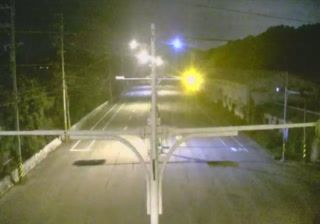

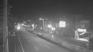


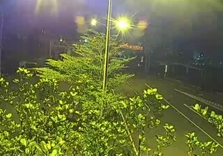



Built around a railway junction where Taiwan’s west-coast routes diverge, Zhunan Township grew into one of Miaoli County’s principal urban centres. It stands on the island’s western plain, with the Taiwan Strait beyond its coastal districts and low foothills leading inland towards Miaoli’s Hakka heartland. Zhunan Railway Station links the Coastal and Mountain lines, while the nearby Zhunan Snake Kiln preserves the setting of traditional ceramic firing. Longfeng Temple, a coastal sanctuary dedicated to Mazu, reflects the enduring role of folk religion in western Taiwan. Continue with other webcams from the area to see how this part of Miaoli County connects regionally.
2 webcams
Among Taiwan’s regions, Miaoli County stands out for its strong Hakka heritage and terrain running from the Taiwan Strait to the foothills of the Xueshan Range. On the island’s northwest, the county combines coastal plains with wooded uplands, tea-growing areas and small farming communities. Sanyi is closely associated with woodcarving, a craft celebrated in its museums and workshops, while the former Mountain Line railway and Longteng Bridge recall the challenges of crossing this broken terrain by rail. Hakka food, language and festivals remain an important part of local identity. Browse additional webcams around Miaoli County to better understand how its coast and uplands connect with central and northern Taiwan.
9 webcams
Taiwan's terrain ranges from fertile plains along the western coast to steep mountains in the interior, concentrating much of its population on the lowlands. The Central Mountain Range runs through the island, while the Pacific meets a more rugged eastern shoreline and the Taiwan Strait lies to the west. Taipei combines contemporary city life with major cultural institutions: the National Palace Museum preserves an extensive collection of Chinese imperial art. Across Taiwan, night markets are central to everyday eating, serving regional snacks alongside familiar staples. Tea cultivation, especially in upland areas, remains an enduring part of the island's food culture. Explore nearby locations that provide complementary perspectives on Taiwan.
94 webcams