 Waukee: I-80 @ MM 116.9
Waukee is best known within Iowa for its role as a rapidly growing western suburb of Des Moines. The city lies in Dallas County amid the rolling farmland of central Iowa, with the Raccoon River valley extending south toward West Des Moines. Interstate 80 passes along Waukee’s northern edge, placing the community on the principal east–west highway corridor across the state. Its origins as a railroad settlement remain part of local identity, while housing, schools and businesses have expanded across the former agricultural edge. Waukee balances suburban growth with the open fields, tree lines and broad roads of the Des Moines metropolitan fringe.
Generated by AI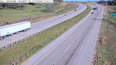
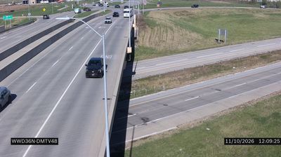
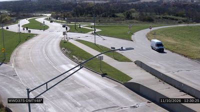
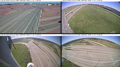
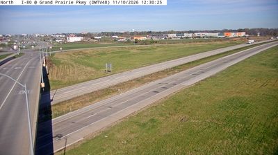
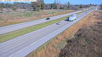

Waukee lies along the Raccoon River Valley Trail, where central Iowa’s gently rolling prairie meets the western suburban edge of Greater Des Moines. The paved route follows a former railroad corridor and makes the city a useful stop for cyclists and walkers travelling across Dallas County. Waukee Railroad Depot recalls the rail connections that helped shape the community’s early growth. Today, residential neighborhoods, parks and local businesses sit beside a trail network linking Waukee with other towns in the Raccoon River valley. Discover other points of interest through webcams located across Waukee and central Iowa.
2 webcams
Iowa combines broad agricultural openness with wooded river corridors in a way that reflects its position within the American Midwest. The Mississippi River forms much of the eastern border, while the Missouri River marks the west; between them, rolling prairie, farmland, and smaller waterways shape the state’s largely rural character. Des Moines, the capital, is Iowa’s main urban centre and hosts the annual Iowa State Fair, an institution closely associated with the state’s farming traditions. The Loess Hills along the western edge add a distinct landform to this predominantly lowland state. Browse additional webcams from the surrounding area to extend your view of Iowa.
1.1K webcams
The Atlantic, Pacific and Gulf coasts define much of the United States — their ports, fisheries and trade routes have long tied the country’s economy to the wider world. Between them, the Rocky Mountains, Great Plains and Mississippi River basin form sharply different regions, from high western ranges to broad agricultural heartlands. Cities carry much of the national story: New York’s Statue of Liberty, a gift from France dedicated in 1886, remains an enduring symbol, while Washington, DC concentrates major federal institutions. Indigenous nations have shaped these lands for millennia, and their living cultures remain essential to the country’s identity. Find related webcams in the surrounding areas to build a fuller picture of the United States.
32K webcams