 Crni Val: Mateševo - Bar-Boljare motorway
The landscape around Crni Val is steep and heavily wooded, which has shaped both the built environment and local life. Near Mateševo, the Bar–Boljare motorway crosses a rugged part of northern Montenegro where road building must negotiate narrow valleys and abrupt slopes. The Mateševo toll area marks the northern end of the Smokovac–Mateševo section, Montenegro’s first motorway section, opened in 2022. This 41-kilometre route created a high-standard link from the Podgorica area towards the country’s interior. The nearby Tara River valley forms part of the wider mountain setting, while forested hills and scattered rural buildings underline the contrast between established settlement and major new transport infrastructure. Mateševo belongs to Kolašin Municipality, an upland area of central-northern Montenegro.
Generated by AI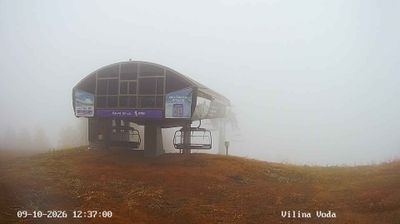
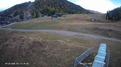


Crni Val combines a quiet upland setting with the sharply cut Morača River valley, reflecting its position in Montenegro’s rugged central interior. It lies in Kolašin Municipality, where steep river terrain leads towards the mountain regions of Bjelasica and Sinjajevina. The municipal centre, Kolašin, is associated with Montenegro’s mountain-travel culture and provides key services for the surrounding settlements, which retain a strongly rural character. Here, forests, slopes and river catchments shape daily geography rather than the country’s better-known Adriatic coast. Discover how Crni Val connects with the Morača valley and the wider Kolašin area by browsing nearby webcams.
1 webcam
Kolašin Municipality occupies a mountainous inland area in northern Montenegro. Its terrain spans highland valleys and forested slopes around the Bjelasica range, with the Tara and Morača rivers cutting through the wider region. Kolašin is closely associated with Biogradska Gora National Park, where Biogradsko Lake sits amid one of Europe’s important remaining old-growth forest areas. The town also serves as a base for mountain recreation on Bjelasica, while the 13th-century Morača Monastery preserves a major strand of Montenegro’s medieval heritage. Traditional Kolašin cheese remains part of the area’s rural identity. Continue through nearby webcams to explore different parts of Kolašin Municipality.
3 webcams
Montenegro occupies a rugged Adriatic coast and mountainous interior in southeastern Europe. The Bay of Kotor cuts deep into the shore beneath steep slopes, while Durmitor National Park protects high Dinaric terrain and the Tara River canyon. Kotor’s fortified old town, shaped during centuries of Venetian rule, is a UNESCO World Heritage site; its lanes and squares contrast with the beaches around Budva. Inland, Lake Skadar forms part of the border with Albania and supports an important wetland ecosystem. Orthodox monasteries, Ottoman-era traces and a strong café culture reflect the country’s layered past. Find related webcams in the surrounding area to build a fuller picture of Montenegro’s coast and mountains.
12 webcams