 Ban Chan: ทางแยกต่างระดับบ้านจั่น (อุโมงค์ทางลอด สะพานข้ามแยก และ วงเวียน) (ในอนาคต)
Tucked into the Khorat Plateau, Ban Chan is a place whose character is shaped by the road network on Udon Thani’s urban fringe. The Ban Chan intersection, known locally as Yaek Ban Chan, is a broad at-grade crossroads between commercial frontage and low, open plots. Its multiple lanes, turning movements and roadside businesses underline the practical importance of road transport outside the city centre. Udon Thani is one of northeastern Thailand’s principal urban centres, while the province is home to the UNESCO-listed Ban Chiang Archaeological Site, recognised in 1992 for evidence of early farming and metallurgy. Ban Chan represents the contemporary, road-oriented side of this Isan regional centre.
Generated by AI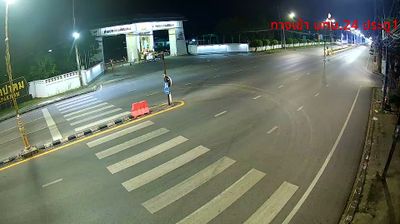
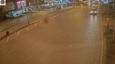


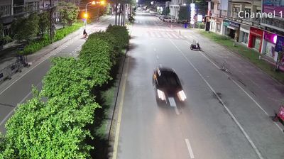
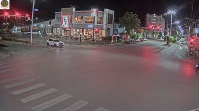
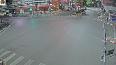
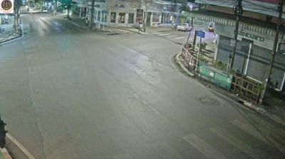
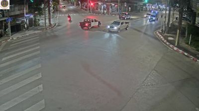

Among the settlements of Udon Thani Province, Ban Chan stands out for its location on the Khorat Plateau, close to Udon Thani’s urban area. This is inland northeastern Thailand, a region of broad, mostly level terrain rather than coasts or high mountain ranges. The province is internationally known for the Ban Chiang Archaeological Site, added to the UNESCO World Heritage List in 1992 for its evidence of prehistoric farming communities and early metallurgy. Ban Chan belongs to the everyday hinterland of Udon Thani, one of the region’s principal cities near the Lao border. Continue with other webcams from the area to see how this part of northeastern Thailand connects regionally.
2 webcams
The terrain of Udon Thani Province ranges from the gently rolling Khorat Plateau across its central and eastern districts to the wooded foothills of the Phetchabun Range in the west, creating a province of broad agricultural plains and higher forest margins. In Thailand’s northeast, Udon Thani is also associated with Nong Han Kumphawapi, a shallow lake known for seasonal red lotus blooms. Its foremost cultural landmark is the Ban Chiang Archaeological Site, inscribed on UNESCO’s World Heritage List in 1992 for evidence of prehistoric settlement and early metalworking. Udon Thani city is a regional commercial centre, while local markets and food reflect Isan’s Lao-influenced traditions. See how Udon Thani Province connects with northeastern Thailand by browsing webcams nearby.
10 webcams
Thailand stretches from the mountains along its northern borders to the Malay Peninsula, encompassing fertile central plains, river deltas and long tropical coasts. The Chao Phraya River runs through Bangkok, where the Grand Palace and Wat Phra Kaew remain central symbols of the Thai monarchy and Buddhist tradition. North of the capital, Ayutthaya’s temple ruins recall the former Siamese kingdom; farther south, the Andaman Sea and Gulf of Thailand frame islands, fishing ports and beach resorts. Thai food, from street stalls to regional kitchens, is inseparable from daily life, while Songkran marks the traditional New Year each April. Browse additional webcams from the surrounding area to extend your view of Thailand.
151 webcams