 Ankeny: DM - I-80 @ MM 137.8 (WB Exit to I-35 NB - East Mix)
Interstate 80 at mile marker 137 straddles the urban-rural edge in central Iowa, and that position connects the Des Moines metropolitan area with regional freight movement and farmland. This part of the corridor is shaped by broad road reserves, interchange lanes, drainage ditches and low, open ground rather than a continuous streetscape. It lies in Polk County, where metropolitan expansion meets Iowa’s working agricultural belt. I-80 is one of the United States’ principal transcontinental highways and was developed as part of the federal Interstate Highway System authorized in 1956. Its role extends beyond local commuting, carrying long-distance traffic across Iowa while linking the Des Moines area with the wider Midwest.
Generated by AI
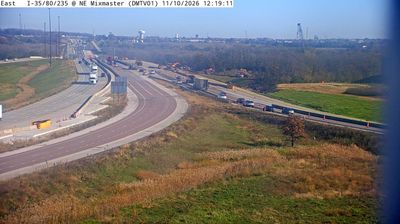
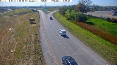

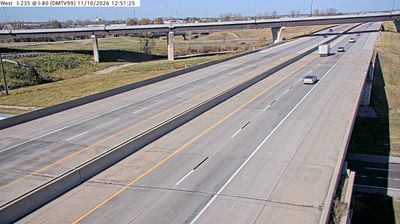
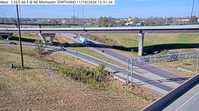
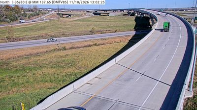
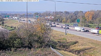
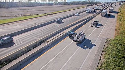


Fourmile Creek defines the setting of Ankeny — its corridor runs through the city, bringing trees and multi-use paths to a largely prairie-based urban landscape north of Des Moines. Founded in 1875 as a coal-mining settlement and named for railroad entrepreneur John Fletcher Ankeny, Ankeny has developed into a major central Iowa community. The High Trestle Trail starts here, following a former rail route toward the Des Moines River; its landmark bridge stands farther northwest near Madrid. Uptown Ankeny remains a focal point for local shops, dining and community events. Browse other webcams across Iowa to place this central-Iowa setting in a wider geographic context.
12 webcams
Iowa combines broad agricultural openness with wooded river corridors in a way that reflects its position within the American Midwest. The Mississippi River forms much of the eastern border, while the Missouri River marks the west; between them, rolling prairie, farmland, and smaller waterways shape the state’s largely rural character. Des Moines, the capital, is Iowa’s main urban centre and hosts the annual Iowa State Fair, an institution closely associated with the state’s farming traditions. The Loess Hills along the western edge add a distinct landform to this predominantly lowland state. Browse additional webcams from the surrounding area to extend your view of Iowa.
1.1K webcams
The Atlantic, Pacific and Gulf coasts define much of the United States — their ports, fisheries and trade routes have long tied the country’s economy to the wider world. Between them, the Rocky Mountains, Great Plains and Mississippi River basin form sharply different regions, from high western ranges to broad agricultural heartlands. Cities carry much of the national story: New York’s Statue of Liberty, a gift from France dedicated in 1886, remains an enduring symbol, while Washington, DC concentrates major federal institutions. Indigenous nations have shaped these lands for millennia, and their living cultures remain essential to the country’s identity. Find related webcams in the surrounding areas to build a fuller picture of the United States.
32K webcams