 Toledo: Rua Doze de Outubro - Catedral Paróquia Cristo Rei
Toledo occupies rolling uplands in western Paraná, within the Paraná River basin. Developed as a farming centre, it is one of the main urban hubs of western Paraná, with grain cultivation and livestock shaping the wider municipal area. Catedral Paróquia Cristo Rei is a focal point for the local Catholic community, while Rua Doze de Outubro forms part of the established central street network. Toledo’s growth is linked to the twentieth-century settlement of western Paraná, when agricultural colonisation created a network of new towns. Around the cathedral, everyday civic life, retail and services give the city centre its practical, regional character.
Generated by AI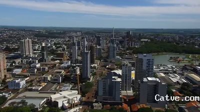

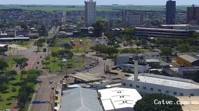
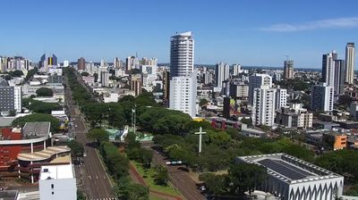


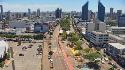
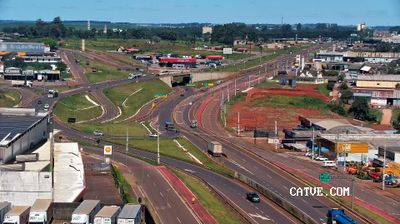
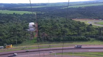
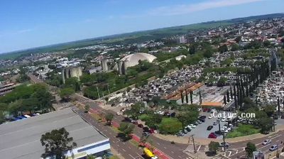

The landscape around Toledo is a gently rolling agricultural plateau in western Paraná, whose fertile red soils and subtropical conditions have shaped both the city’s layout and its farm-based economy. Set within the Paraná River basin, the municipality is identified across Brazil with grain production, livestock and food processing, industries that link its urban services to the surrounding countryside. Lago Municipal de Toledo, in Parque Ecológico Diva Paim Barth, creates a large public space by the water near the centre. Toledo became a municipality in 1951 during the postwar settlement of western Paraná; Catedral Cristo Rei is among its notable central landmarks. Continue through nearby webcams to explore western Paraná and the Paraná River basin.
2 webcams
Among Brazil’s states, Paraná stands out for its span from the Atlantic coast across the Serra do Mar to the Paraná River. Forested uplands, farming country and major cities give this southern state a varied character, while the Paraná River marks much of its western frontier. In the southwest, Iguaçu National Park contains Brazil’s side of Iguaçu Falls and is recognised as a UNESCO World Heritage site. Curitiba, the state capital, reflects the immigrant traditions that have shaped Paraná, including Polish, Ukrainian, Italian and German communities. Explore related webcams around Paraná to gain a broader sense of this southern Brazilian state.
27 webcams
Brazil has served as a Portuguese colonial link between Europe and South America since the 16th century. Its immense territory extends from the Amazon River basin in the north to the Atlantic coast, with the Pantanal wetlands and Brazilian Highlands creating very different regions inland. Rio de Janeiro sits beside Guanabara Bay beneath Sugarloaf Mountain, while Brasília is known for its planned layout and modernist buildings by Oscar Niemeyer. Portuguese is the official language, and football, regional cuisines and Carnival celebrations are central to public life across the country. Continue through nearby webcams to explore different parts of Brazil.
142 webcams