 Paljevine: Ski Resort Kolašin 1450
Kolašin is best known within Montenegro for the ski centres spread across Bjelasica Mountain. The Kolašin 1450 centre occupies the Jezerine area on the mountain’s western side, where lifts and marked runs form part of the town’s mountain-tourism infrastructure. Bjelasica is defined by broad uplands, forested slopes and summer pastures rather than the bare limestone profiles found elsewhere in Montenegro. Nearby, Biogradska Gora National Park protects Biogradsko Lake and an important remnant of old-growth forest. Seasonal katuns—simple highland settlements used by pastoral families—remain a recognisable part of the cultural landscape around Kolašin. The town also lies close to the Tara River valley, a major natural corridor of northern Montenegro.
Generated by AI
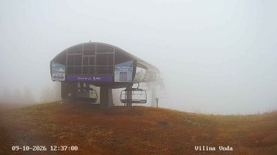
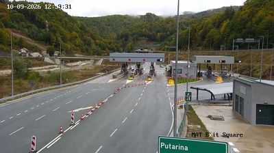


Tucked into the mountainous interior of Kolašin Municipality, Paljevine is a place whose character is shaped by the cool, elevated terrain of Montenegro’s north-central highlands. The settlement belongs to a rural municipality associated with the Bjelasica mountain range, whose slopes and valleys define the wider setting around Kolašin. Woodland, pasture and scattered settlements remain central to this part of the country, far from the dense development of the coast. The town of Kolašin is the municipality’s administrative centre. Find related webcams in the surrounding area to build a fuller picture of Kolašin Municipality.
1 webcam
Kolašin Municipality occupies a mountainous inland area in northern Montenegro. Its terrain spans highland valleys and forested slopes around the Bjelasica range, with the Tara and Morača rivers cutting through the wider region. Kolašin is closely associated with Biogradska Gora National Park, where Biogradsko Lake sits amid one of Europe’s important remaining old-growth forest areas. The town also serves as a base for mountain recreation on Bjelasica, while the 13th-century Morača Monastery preserves a major strand of Montenegro’s medieval heritage. Traditional Kolašin cheese remains part of the area’s rural identity. Continue through nearby webcams to explore different parts of Kolašin Municipality.
3 webcams
Montenegro occupies a rugged Adriatic coast and mountainous interior in southeastern Europe. The Bay of Kotor cuts deep into the shore beneath steep slopes, while Durmitor National Park protects high Dinaric terrain and the Tara River canyon. Kotor’s fortified old town, shaped during centuries of Venetian rule, is a UNESCO World Heritage site; its lanes and squares contrast with the beaches around Budva. Inland, Lake Skadar forms part of the border with Albania and supports an important wetland ecosystem. Orthodox monasteries, Ottoman-era traces and a strong café culture reflect the country’s layered past. Find related webcams in the surrounding area to build a fuller picture of Montenegro’s coast and mountains.
12 webcams