 Ferizaj: Poliklinika ORO-FACE - Ahmet Kaçiku
Ferizaj sits on the Kosovo Plain in southern Kosovo, where the main Pristina–Skopje transport corridor crosses a fast-growing urban centre. Ahmet Kaçiku and Poliklinika ORO-FACE belong to the central services district, close to the city’s railway infrastructure. Ferizaj developed after the railway through this area was built in the Ottoman period, and rail remains a defining element of its layout: the line links it north toward Pristina and south toward the North Macedonian border. Apartment blocks, shops, clinics and everyday businesses now occupy the district around the tracks, giving it the practical, densely used character of one of Kosovo’s principal southern municipalities. The Šar Mountains rise west of the plain, while Ferizaj functions chiefly as a commercial and transport centre for surrounding settlements.
Generated by AI
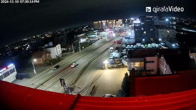
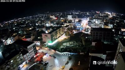
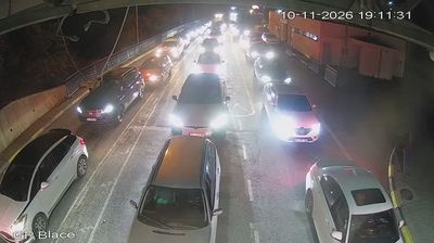
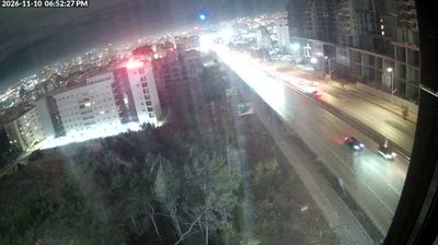
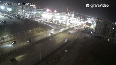
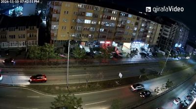

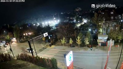

Among the cities of the Municipality of Ferizaj / Uroševac, Ferizaj stands out for the nearby Nerodimka bifurcation, where water is directed toward both the Black Sea and Aegean drainage basins. The city lies on the Kosovo Plain, with the Šar Mountains rising to the south-west and the rail corridor between Pristina and Skopje passing through it. Ferizaj developed in the late Ottoman period around the railway, and its name recalls Feriz Shasivari, whose inn served travellers. Today it is a commercial centre for southeastern Kosovo, marked by busy streets, cafés and a mixed urban fabric. Explore nearby webcam locations that provide complementary perspectives on Ferizaj and southeastern Kosovo.
2 webcams
District of Ferizaj is best known within Kosovo for the city of Ferizaj, an important commercial and rail centre in the country’s southeast. Set on the Kosovo plain, the district is crossed by the Nerodimka River and extends towards the foothills of the Šar Mountains, placing its settlements between farmland and higher ground. Ferizaj grew quickly after the railway from Skopje arrived in 1873, and rail links still connect the city with Pristina and North Macedonia. Beyond the urban core are rural communities and routes towards Kaçanik and the Šar range. Its location helps define Kosovo’s southeastern transport corridor. Continue through nearby webcams to explore different parts of the District of Ferizaj.
3 webcams
Kosovo has served as a crossroads between Central Europe and the eastern Mediterranean since Roman times. This compact Balkan country is shaped by contrasts: the Šar Mountains line its southern border, while the White Drin runs through western valleys and the Rugova Canyon lies near Peja. Pristina, the capital, combines rapid postwar growth with landmarks including the National Library and the Newborn monument, unveiled after Kosovo declared independence in 2008. In Prizren, mosques, churches and Ottoman-era houses trace successive Byzantine, Ottoman and modern Balkan influences. The 14th-century Visoki Dečani Monastery near Peja ranks among the region’s major medieval monuments. Browse additional webcams from the surrounding area to extend your view of Kosovo’s Balkan highlands.
27 webcams