 Durres: Toll Thumanë - Kashar
Thumanë–Kashar Toll Plaza is best known in Albania for serving the Thumanë–Kashar motorway, a 21-kilometre road linking the A1 at Thumanë with the Tirana–Durrës corridor near Kashar. It forms part of the faster north–south approach to the capital, channelling long-distance traffic around the crowded roads on Tirana’s northern edge. The route crosses the low, developed plain northwest of Tirana, within Albania’s Adriatic lowlands; the Adriatic Sea lies farther west beyond Durrës. Durrës is an ancient port city, founded by Greek colonists as Epidamnos, and remains Albania’s principal seaport. Toll lanes, service buildings and controlled motorway access give this junction a distinctly infrastructural character rather than the feel of a conventional urban district.
Generated by AI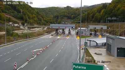

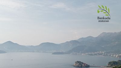

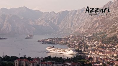
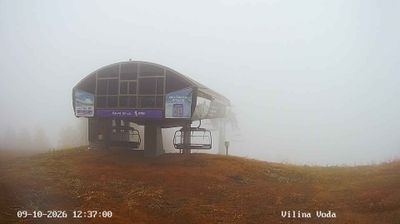

The Adriatic Sea defines the setting of Durrës — its waterfront, harbour and beaches have made the city Albania’s principal maritime centre. Founded in antiquity as Epidamnos and known to the Romans as Dyrrachium, it stood at the Adriatic end of the Via Egnatia, the road linking the coast with the Balkans and Byzantium. The 2nd-century Roman amphitheatre, uncovered beneath the modern city in 1966, is Durrës’s defining archaeological monument; its surviving galleries reveal the scale of the ancient port city. Along the seafront, cafés and ferry traffic keep the coastal connection firmly present. Continue with other webcams from the area to see how this part of northern Albania connects regionally.
2 webcams
The Drin River and the Albanian Alps define much of Northern Albania – their valleys concentrate settlement and agriculture, while the Drin’s dams are central to Albania’s power supply. The regional centre of Shkodër stands near Lake Shkodër, shared with Montenegro, and has long been one of Albania’s leading cultural cities. Rozafa Castle, on a hill above the confluence of the Drin and Buna rivers, is its best-known historic landmark. Farther north, rugged mountain communities contrast with the Adriatic lowlands around the Buna delta; roads link these varied landscapes with Kosovo and Montenegro. Browse additional webcams from the surrounding area to extend your view of Northern Albania.
9 webcams
Mountain ranges define much of Albania — steep terrain has concentrated settlements and transport routes in valleys and along the coastal plain, while rivers such as the Drin support hydropower. The Albanian Alps rise in the north, and the Adriatic and Ionian coasts shape the country’s western and southern shores. Tirana is the capital and largest city, while Berat and Gjirokastër are UNESCO World Heritage cities noted for their historic urban fabric. Albania’s Mediterranean setting also appears in olive growing, coastal cuisine and cultural influences from the Balkans, the Ottoman world and Italy. Explore nearby webcam locations that provide complementary perspectives on Albania’s mountains, towns and coast.
15 webcams