 Bishkek: Paramount Kyrgyz Republic Flag - Chuy Avenue
Bishkek straddles the Chüy Valley in northern Kyrgyzstan, and its position at the foot of the Kyrgyz Ala-Too has shaped it into the country’s political and administrative centre. Ala-Too Square, beside Chüy Avenue, is the capital’s principal ceremonial space. It is marked by a tall flagpole carrying Kyrgyzstan’s red national flag and by a statue of Manas, the epic hero central to Kyrgyz oral tradition. The square was laid out in 1984 as Lenin Square during the Soviet period and received its present name after independence in 1991. The State History Museum stands on its northern side, while Chüy Avenue continues through one of Bishkek’s main administrative and commercial corridors.
Generated by AI
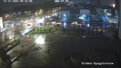
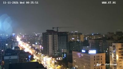
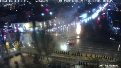
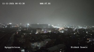
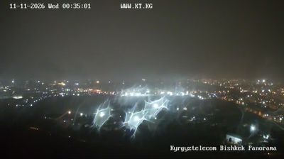

The Kyrgyz Ala-Too range defines the setting of Bishkek — snow-fed mountains rise south of this broad, grid-planned capital, while tree-lined streets and irrigated greenery soften its dry continental climate. Ala-Too Square, home to the State History Museum and a prominent national flagpole, is the city’s principal civic space and a regular venue for public gatherings. Bishkek developed from the Kokand-era fortress of Pishpek and was extensively reshaped under Soviet rule, leaving spacious boulevards, apartment blocks and monumental public buildings. Osh Bazaar adds an everyday counterpoint, with produce, bread, spices and goods from across Kyrgyzstan. Find related webcams in the surrounding area to build a fuller picture of Bishkek and the Kyrgyz Ala-Too.
8 webcams
Bishkek combines a leafy, planned urban fabric with a high-mountain backdrop in a way that reflects its position within the Chüy Valley below the Kyrgyz Ala-Too range. Kyrgyzstan’s capital is laid out on broad, tree-lined avenues, where Soviet-era public buildings and mosaics stand alongside newer cafés, markets and offices. Ala-Too Square forms the civic centre, while the State History Museum traces the country’s past from antiquity to the modern republic. The snow-fed Ala-Archa River runs south of the city, and Ala-Archa National Park brings rugged valleys and hiking routes close to the capital. Bishkek is also a useful place to encounter Kyrgyz food and everyday city life, from tea houses to the busy Osh Bazaar. Continue with other webcams from the area to see how this part of the Chüy Valley connects regionally.
9 webcams
Kyrgyzstan combines enduring nomadic traditions with a Soviet-era urban legacy in a way that reflects its position within Central Asia. The Tian Shan dominates much of the country, with broad valleys, high pastures and Lake Issyk-Kul framed by mountain ranges. Bishkek, the capital, is known for its leafy streets and public squares, while Osh is home to the sacred Sulayman-Too Mountain, a UNESCO World Heritage site. The epic of Manas remains central to Kyrgyz cultural identity, and horseback games such as kok-boru are still widely celebrated. Browse additional webcams from the surrounding area to extend your view of the Tian Shan and Central Asia.
48 webcams