 Baie-D'Urfé: Baie d'Urfe Yacht Club
Tucked along the northern shore of Lac Saint-Louis, Baie-D'Urfé is a place whose character is shaped by its position on a broad reach of the St. Lawrence River. The municipality occupies Montreal's western end, where low-density residential streets, mature trees and waterfront parks create a quieter setting than the island's central districts. Baie d'Urfé Yacht Club anchors the local shoreline as a centre for sailing and recreational boating, with a protected marina opening onto Lac Saint-Louis. The lake is a broad fluvial expansion of the St. Lawrence and an important feature of western Montreal's geography. Baie-D'Urfé also retains a link to its rural past at Fritz Farm, a heritage property used for community events and local programming.
Generated by AI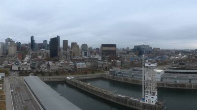
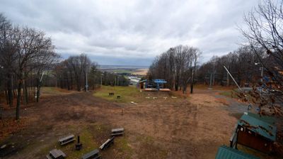
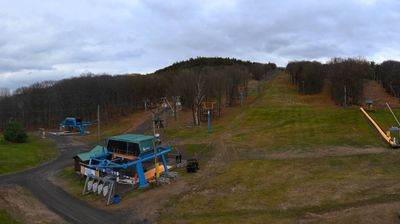
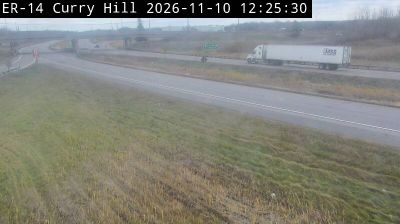


Few cities in Quebec have a history as closely tied to the French colonial seigneurial era as Baie-D'Urfé. Its name recalls François-Saturnin Lascaris d'Urfé, a Sulpician priest who received a land concession here in 1685. The municipality occupies a low, residential stretch of Montreal Island's western shore, facing Lake Saint-Louis, a broad reach of the St. Lawrence River. Incorporated in 1911, Baie-D'Urfé developed separately from Montreal yet remains part of the city's metropolitan area. Waterfront parks, mature trees and detached homes give its streets a distinctly suburban rhythm, while rail and highways connect it to the wider island. View additional webcams nearby to better understand how Baie-D'Urfé relates to its Lake Saint-Louis surroundings.
1 webcam
Quebec has served as a French-speaking heartland within Canada since the 17th century. This vast province stretches from the St. Lawrence River valley to the subarctic north, and the coordinates here lie in its extensive Canadian Shield interior. Boreal forest, lakes, wetlands and rock outcrops shape this sparsely settled part of northern Quebec, where waterways are central to travel and seasonal life. French is Quebec’s official language, while Indigenous nations maintain enduring ties to territories across the province. Quebec City’s historic centre, founded in the early French colonial era, is a UNESCO World Heritage site. Browse additional webcams from the surrounding area to extend your view of northern Quebec.
59 webcams
Canada has served as a frontier between French and British colonial powers since the 17th century. The world’s second-largest country extends from Atlantic shores to the Pacific and Arctic coasts, with the Canadian Shield, the Rocky Mountains, the Great Lakes and the St. Lawrence River shaping its vast geography. First Nations, Inuit and Métis peoples are central to Canada’s identity, while Ottawa’s Parliament Hill represents its federal political life. French remains the official language of Quebec, adding a distinct dimension to the country’s public culture. See how Canada connects across North America by browsing webcams in neighbouring regions.
3.5K webcams