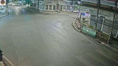
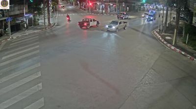
 Udon Thani: Mueang Thong Charoensri Market
Udon Thani has served as a provincial administrative centre in northeastern Thailand since the late 19th century. The modern town developed around an administrative and military post established in 1893. Mueang Thong Charoensri Market belongs to the city’s everyday commercial fabric, set amid broad divided roads and low-rise shopfronts in its expanding urban area. Udon Thani lies on the Khorat Plateau, close to the Lao border, and has long been an important service and transport centre for Isan. Its wider province is known internationally for Ban Chiang Archaeological Site, whose prehistoric remains earned UNESCO World Heritage status in 1992. Nong Prajak Park provides a prominent lakeside public space within the city.
Generated by AI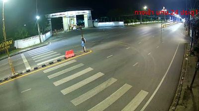

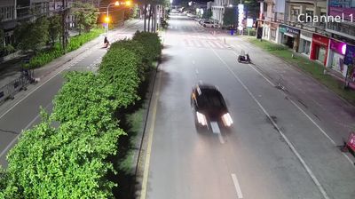
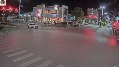

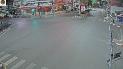


Nong Prajak Lake shapes the setting of Udon Thani — its waters and lakeside public park provide a broad open space within this lowland provincial capital. Beyond the lake, Udon Thani is a busy commercial centre of Isan, Thailand’s northeastern region, with road and rail links reflecting its position near the Lao border. The city expanded markedly during the Vietnam War era, when the United States operated an air base here. Udon Thani Province is also home to the Ban Chiang Archaeological Site, a UNESCO World Heritage property known for evidence of prehistoric settlement and early metalworking. Move on to other webcams in the region to compare landscapes and settings around Udon Thani Province.
7 webcams
The terrain of Udon Thani Province ranges from the gently rolling Khorat Plateau across its central and eastern districts to the wooded foothills of the Phetchabun Range in the west, creating a province of broad agricultural plains and higher forest margins. In Thailand’s northeast, Udon Thani is also associated with Nong Han Kumphawapi, a shallow lake known for seasonal red lotus blooms. Its foremost cultural landmark is the Ban Chiang Archaeological Site, inscribed on UNESCO’s World Heritage List in 1992 for evidence of prehistoric settlement and early metalworking. Udon Thani city is a regional commercial centre, while local markets and food reflect Isan’s Lao-influenced traditions. See how Udon Thani Province connects with northeastern Thailand by browsing webcams nearby.
10 webcams
Thailand stretches from the mountains along its northern borders to the Malay Peninsula, encompassing fertile central plains, river deltas and long tropical coasts. The Chao Phraya River runs through Bangkok, where the Grand Palace and Wat Phra Kaew remain central symbols of the Thai monarchy and Buddhist tradition. North of the capital, Ayutthaya’s temple ruins recall the former Siamese kingdom; farther south, the Andaman Sea and Gulf of Thailand frame islands, fishing ports and beach resorts. Thai food, from street stalls to regional kitchens, is inseparable from daily life, while Songkran marks the traditional New Year each April. Browse additional webcams from the surrounding area to extend your view of Thailand.
151 webcams