 Gjakova: Nënë Tereza - Parku i qytetit - UCK
Gjakova has served as a market town in Kosovo’s Dukagjin Plain since the Ottoman period. The city stands on the Erenik River, with Nënë Tereza Street and the city park forming part of its central urban fabric. Gjakova’s defining cultural landmark is the Grand Bazaar, Çarshia e Madhe, a long-established trading quarter where craft shops and cafés continue its mercantile tradition. The Hadum Mosque, built in the late 16th century, anchors the bazaar area and recalls Gjakova’s role on Ottoman-era trade routes. The name UÇK refers to the Kosovo Liberation Army, an important reference in Kosovo’s recent history.
Generated by AI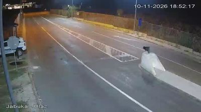

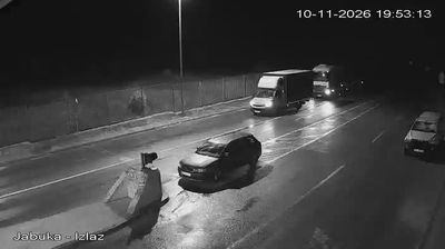
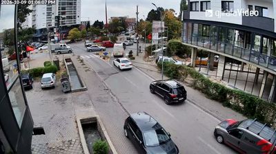
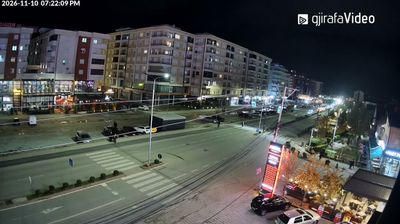
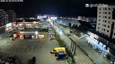

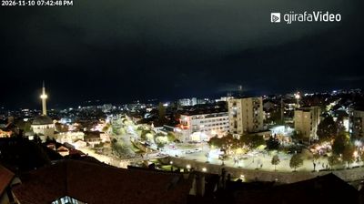
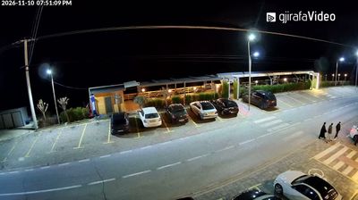

The terrain around Gjakova is a broad plain beneath the foothills of the Accursed Mountains, which has shaped both the city’s layout and its role as a market centre. The Erenik River runs through the wider Dukagjin Plain south of the city, a fertile region in western Kosovo. Gjakova is especially associated with Çarshia e Madhe, the Great Bazaar, whose lanes have long accommodated traders and craft workshops. Within this historic quarter stands the Hadum Mosque, an Ottoman-era monument built in the late 16th century. Browse additional webcams around Gjakova to see how the Dukagjin Plain meets the mountain country of western Kosovo.
1 webcam
The terrain of the District of Gjakova ranges from the fertile Dukagjin Plain in the east to the rugged Accursed Mountains along the western border, creating a swift transition from farmland to highland country. Centred on Gjakova in western Kosovo, the district belongs to the White Drin basin and stands close to the Albanian frontier. Gjakova’s Great Bazaar, developed during the Ottoman period, remains a focal point for shops, cafés and traditional urban life, while the Hadum Mosque dates from the 16th century. Local markets and roads underline the city’s role as a regional centre for surrounding rural communities. Explore nearby webcam locations that provide complementary perspectives on the District of Gjakova.
3 webcams
Kosovo has served as a crossroads between Central Europe and the eastern Mediterranean since Roman times. This compact Balkan country is shaped by contrasts: the Šar Mountains line its southern border, while the White Drin runs through western valleys and the Rugova Canyon lies near Peja. Pristina, the capital, combines rapid postwar growth with landmarks including the National Library and the Newborn monument, unveiled after Kosovo declared independence in 2008. In Prizren, mosques, churches and Ottoman-era houses trace successive Byzantine, Ottoman and modern Balkan influences. The 14th-century Visoki Dečani Monastery near Peja ranks among the region’s major medieval monuments. Browse additional webcams from the surrounding area to extend your view of Kosovo’s Balkan highlands.
27 webcams