 Batken: Batken Shaary - Razakov Street
Built around irrigated land on the southern edge of the Fergana Valley, Batken grew into the administrative centre of Kyrgyzstan’s Batken Region. Razakov Street runs through a compact centre of civic buildings, shops, tree-lined roads and broad intersections, reflecting the city’s role as the region’s service hub. Batken stands below the Turkestan Range in a borderland shaped by the close frontiers of Kyrgyzstan, Tajikistan and Uzbekistan. The street name recalls Iskhak Razzakov, a leading Kyrgyz statesman of the Soviet period. Apricot cultivation is a defining part of Batken Region’s agricultural identity, linking the city to the irrigated farms of its surroundings.
Generated by AI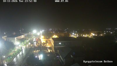

Batken stands at the southern rim of the Fergana Valley in southwestern Kyrgyzstan, where the foothills of the Turkestan Range descend toward irrigated farmland. It is the administrative centre of Batken Region, which was established in 1999. The surrounding borderland is shaped by Kyrgyzstan’s intricate frontiers with Tajikistan and Uzbekistan, including enclaves and narrow corridors that make this one of Central Asia’s most complex boundary areas. Apricot orchards and other irrigated crops are an important part of local agriculture. See how Batken fits within the Fergana Valley and Kyrgyzstan’s southwest by browsing webcams nearby.
1 webcam
Batken Region extends from the northern slopes of the Turkestan Range to the western edge of the Fergana Valley, encompassing dry mountain foothills, irrigated fields and densely settled border country. In Kyrgyzstan’s far southwest, it meets both Tajikistan and Uzbekistan, and its intricate boundaries include the Tajik exclave of Vorukh. The Isfara River supports farming in a landscape where water is especially precious. Apricot orchards are central to local agriculture, and dried fruit is a familiar product of Batken’s markets and households. The town of Aydarken developed around mercury mining, recalling an economy shaped by both land and minerals. Discover other points of interest through webcams located across Batken Region.
5 webcams
Kyrgyzstan combines enduring nomadic traditions with a Soviet-era urban legacy in a way that reflects its position within Central Asia. The Tian Shan dominates much of the country, with broad valleys, high pastures and Lake Issyk-Kul framed by mountain ranges. Bishkek, the capital, is known for its leafy streets and public squares, while Osh is home to the sacred Sulayman-Too Mountain, a UNESCO World Heritage site. The epic of Manas remains central to Kyrgyz cultural identity, and horseback games such as kok-boru are still widely celebrated. Browse additional webcams from the surrounding area to extend your view of the Tian Shan and Central Asia.
48 webcams