 Szczecin: Plac Rodła - aleja Wyzwolenia
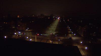
Szczecin has served as a Baltic port in Pomerania since the Middle Ages. Aleja Wyzwolenia and Plac Rodła form a major north–south artery in the modern centre, where tram tracks, broad carriageways and post-war commercial blocks converge. The square lies close to the former Prussian city’s 19th-century planned quarters, whose wide streets and radial layout still organise central Szczecin. The Oder flows west of this district before dividing into channels that lead towards the Szczecin Lagoon and the Baltic. This busy address links inner-city neighbourhoods with the river port economy, while the medieval core around the Pomeranian Dukes’ Castle lies nearer the river.
Generated by AI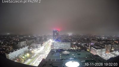



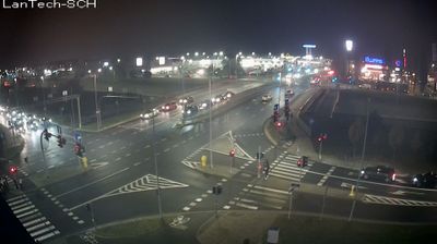
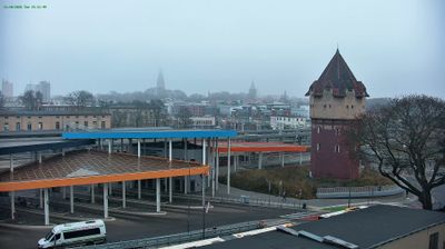


Szczecin straddles the Oder River in Poland’s West Pomeranian Voivodeship, and its navigable route towards the Baltic has made it one of the country’s principal seaports. The city extends across river islands and low-lying banks south of the Szczecin Lagoon, close to the German border. The monumental Chrobry Embankment forms a prominent waterfront promenade above the harbour. Nearby, the Pomeranian Dukes’ Castle recalls Szczecin’s role as a seat of the dukes of Pomerania and now hosts cultural institutions. Its white, angular Philharmonic building received the European Union Prize for Contemporary Architecture in 2015. Continue through nearby webcams to explore different parts of Szczecin and West Pomerania.
7 webcams
Among Poland’s voivodeships, West Pomeranian Voivodeship stands out for its Baltic coastline and lake-dotted interior. Its northern edge includes broad beaches, dunes and the islands around Świnoujście, while the Oder estuary and Szczecin Lagoon link the coast with inland waterways. Farther east and south, forests and lakes shape areas such as the Drawsko Lake District. Szczecin, the regional capital, retains the Pomeranian Dukes’ Castle, a reminder of the city’s long role as a Baltic port. Move on to other webcams in the region to compare coastal, lake-district and city settings around West Pomeranian Voivodeship.
47 webcams
Poland stretches from the Baltic Sea coast in the north to the Carpathian Mountains along its southern frontier, encompassing broad lowlands, lake districts and upland ranges. The Vistula, the country’s longest river, links Kraków and Warsaw before reaching the Baltic near Gdańsk, while the Masurian Lake District is defined by a dense network of lakes. Kraków’s historic centre, including Wawel Castle, recalls Poland’s former royal capital; Warsaw’s rebuilt Old Town speaks to the city’s recovery after the Second World War. The Białowieża Forest preserves one of Europe’s last primeval lowland forests and is home to European bison. Follow how Poland’s regions relate to one another by browsing webcams across the country.
718 webcams