 Breil-sur-Roya: Pont de Pertus
Among the places of the Roya valley, Pont de Pertus stands out for carrying the D6204 across the Roya River in a steep, wooded corridor near Breil-sur-Roya. The bridge belongs to the main road through the upper Roya valley, following the river between the Mediterranean hinterland and the French-Italian frontier. Here, the watercourse cuts through pale rock and constricted slopes, making road engineering a defining part of the setting. Breil-sur-Roya lies a short distance south, at a crossing shaped by the river and the railway through the valley. The town was transferred from Italy to France under the 1947 Treaty of Paris, a reminder that this Alpine borderland has long connected and divided the two countries.
Generated by AI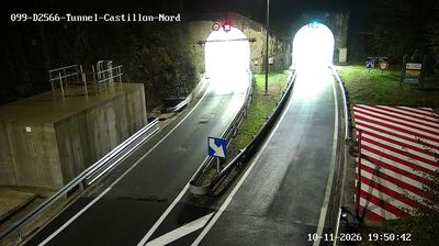

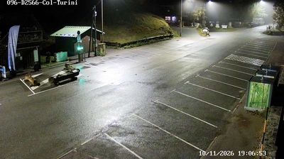
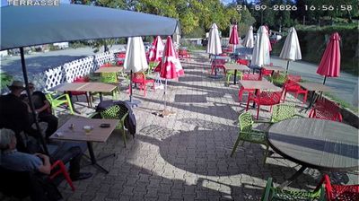
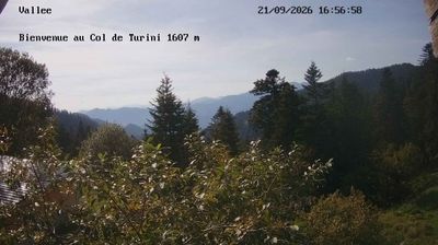
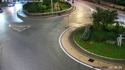
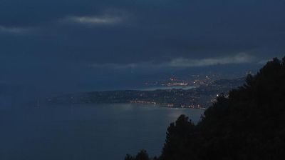
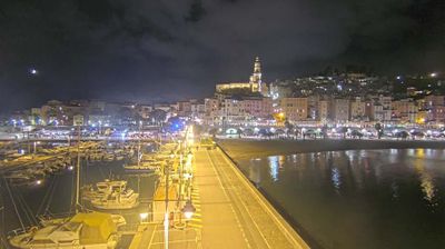

The Roya River defines the setting of Breil-sur-Roya — its bends and steep valley sides shape a compact settlement in the Maritime Alps, close to the Italian border. The older quarter follows the river with tightly grouped houses, small squares and narrow lanes, while the surrounding slopes reflect the rugged character of the Roya valley. The Baroque church of Sancta Maria in Albis is a notable local landmark. Breil-sur-Roya is also an important stop on the railway routes linking Nice, Ventimiglia and Cuneo. View additional webcams nearby to better understand how Breil-sur-Roya relates to the wider Roya valley and the Maritime Alps.
1 webcam
Provence-Alpes-Côte d’Azur occupies France’s southeastern Mediterranean coast and Alpine borderlands. Its terrain runs from the Rhône delta and the Camargue wetlands to the limestone coves of the Calanques and the high valleys of the French Alps, while the Côte d’Azur forms its celebrated shoreline. Marseille, France’s oldest city, is a major port, and Avignon’s Palais des Papes recalls the 14th-century papal court. Inland, Provençal markets, olive cultivation and lavender-growing areas remain central to regional identity. Browse additional webcams nearby to see how Provence-Alpes-Côte d’Azur connects with the Mediterranean, the Alps and neighbouring Italy.
270 webcams
The Atlantic and Mediterranean coastlines, together with the Alps, Pyrenees and broad river basins, define much of France — they support maritime trade, farming, wine regions and travel throughout the year. The Seine runs through Paris, where the Eiffel Tower and the Louvre are among Europe’s most recognised landmarks. The Loire Valley is known for Renaissance châteaux, while Mont-Saint-Michel rises from a tidal bay in Normandy. Regional food traditions are equally distinctive, from Breton seafood to Provençal cooking, with bread, cheese and wine central to everyday life. France’s global cultural influence is evident in its language, literature, fashion and cinema. View additional webcams nearby to better understand how France’s coasts, plains and mountain borders relate to their surroundings.
2.2K webcams