 Karaganda: Kazameta
Karaganda straddles the Bukpa River in Kazakhstan’s Karaganda Region, and its position in the central steppe helped make it a major centre of the Karaganda coal basin. Kazameta stands on broad Bukhar Zhyrau Avenue, one of the city’s principal east–west thoroughfares, amid urban districts that expanded with twentieth-century mining and industry. Associated with building and home-improvement retail, the complex fronts an avenue of multi-lane carriageways, service roads and planted verges that reflect Karaganda’s spacious Soviet-era planning. The avenue is named for Bukhar Zhyrau, the influential 18th-century Kazakh poet and adviser to Ablai Khan.
Generated by AI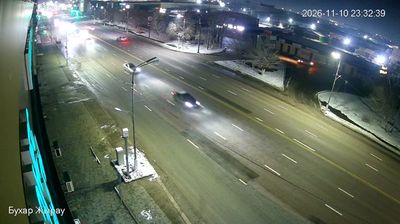
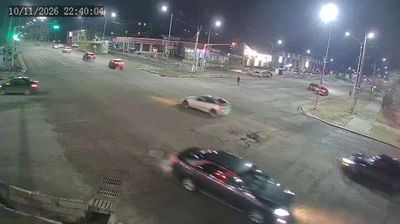

Karaganda sits on the Kazakh Uplands in central Kazakhstan, where open steppe meets the Karaganda coal basin. The city grew rapidly during Soviet industrialisation and remains an important industrial and administrative centre of Karaganda Region. Coal mining has shaped its identity for generations, while broad avenues, parks and theatres give the centre a distinctly planned Soviet-era character. The Karaganda Regional Museum of Local History explores the area’s archaeology, steppe life and mining heritage; nearby Dolinka’s Museum of Memory of Political Repression documents the history of Karlag. Move on to other webcams in Karaganda Region to compare landscapes and settings around central Kazakhstan.
2 webcams
Karaganda Region occupies a broad expanse of upland steppe in central Kazakhstan. Its terrain belongs largely to Saryarka, the Kazakh Uplands, where open grasslands are broken by low rocky hills, dry valleys and scattered lakes; Lake Balkhash marks an important southern edge of the region. The Nura River is among the waterways crossing this continental interior. Karaganda, the regional capital, grew around one of Kazakhstan’s principal coal basins, and mining remains central to the area’s identity. Farther east, the wooded granite slopes of Karkaraly National Park contrast with the surrounding steppe. Continue with other webcams from the area to see how this part of central Kazakhstan connects regionally.
3 webcams
Kazakhstan combines nomadic steppe heritage with a rapidly modernising urban identity in a way that reflects its position between Europe and Central Asia. The country stretches from the Caspian Sea in the west across immense grasslands to the Altai and Tian Shan mountain systems in the east and southeast. Astana, its capital, is known for bold contemporary architecture, while Almaty lies near the northern Tian Shan foothills. In the south, Turkistan is home to the Mausoleum of Khoja Ahmed Yasawi, a major monument of Timurid architecture and a UNESCO World Heritage site. Baikonur Cosmodrome launched the first human into space in 1961. Discover other points of interest through webcams located across Kazakhstan.
18 webcams