 Comuna 14 - El Poblado
El Poblado sits on the eastern slopes of the Aburrá Valley in Medellín, Colombia, where densely built neighbourhoods rise toward Antioquia’s green mountains. This comuna is a major centre for dining, business and nightlife, with Parque Lleras at its social heart and apartment towers extending along the hillsides. The Medellín River runs lengthwise through the valley below, a narrow basin that contains most of the metropolitan area. El Poblado’s steep terrain and intensive development capture a defining contrast of Medellín: a large Andean city held between mountain ridges. The district also contains Museo El Castillo, a former 20th-century residence that now operates as an art museum surrounded by gardens.
Generated by AI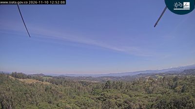

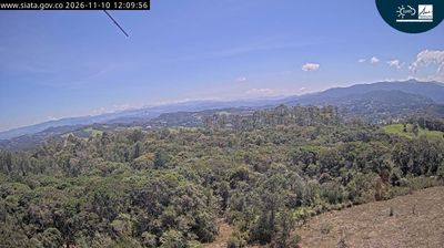
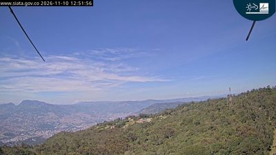
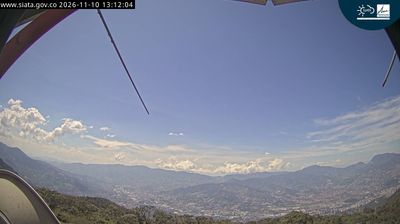

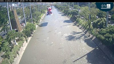
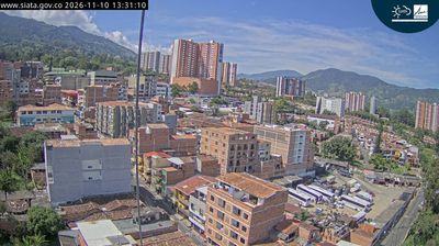
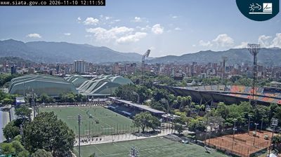


Comuna 14 – El Poblado combines a leafy hillside setting with Medellín’s energetic restaurant and business scene in a way that reflects its position on the eastern slopes of the Aburrá Valley. The Aburrá River follows the valley floor west of the district, while its streets climb toward the mountains and link residential areas with offices, cafés and shopping. Parque Lleras is the area’s best-known meeting point, and nearby Provenza has become a focal point for dining and nightlife. El Poblado also marks an early chapter in the city’s story: the settlement of San Lorenzo de Aburrá was founded here in 1616, before Medellín grew across the valley. Continue through nearby webcams to explore different parts of El Poblado and Medellín.
7 webcams
Antioquia has served as a mining heartland within Colombia since the colonial era. Its terrain runs from the Magdalena River valley to the Western and Central Andes, while the Cauca River cuts through the department and shapes fertile valleys. Medellín, the departmental capital, lies in the Aburrá Valley and is Colombia’s second-largest city; its urban growth contrasts with coffee farms and cattle country beyond the metropolitan area. The region is closely associated with paisa culture, reflected in its food, speech and entrepreneurial traditions. Santa Fe de Antioquia, the former departmental capital, preserves a colonial-era centre near the Cauca River. Browse other webcams across Antioquia to place this Andean region in a wider Colombian context.
19 webcams
The Andes define much of Colombia — their three main branches shape distinct regions, support coffee cultivation on mountain slopes and frame high-altitude cities. The Magdalena River runs north through the country toward the Caribbean, while Colombia also reaches the Pacific and the Amazon basin. Bogotá stands on an Andean plateau, and Cartagena’s walled historic centre recalls the Spanish colonial era. Coffee remains a major national product, particularly in the central-western Coffee Cultural Landscape. Barranquilla’s Carnival is another defining tradition, celebrated with music, dance and elaborate costumes. Continue through nearby webcams to explore different parts of Colombia.
20 webcams