 Huechuraba: Avenida Santa Clara
Huechuraba occupies the northern edge of the Santiago Basin in Chile’s Santiago Metropolitan Region. Avenida Santa Clara runs through a built-up commercial and service area, where low-rise premises, parking areas and broad streets reflect the district’s role in metropolitan Santiago rather than its colonial core. The commune lies below the hills of the Chilean Coastal Range, part of the mountain system that frames the capital on its western and northern sides. Huechuraba is one of Santiago’s northern communes, shaped by the city’s outward growth and by business activity alongside residential neighbourhoods. Its setting marks a clear transition from dense urban development to foothill terrain.
Generated by AI
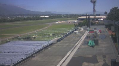


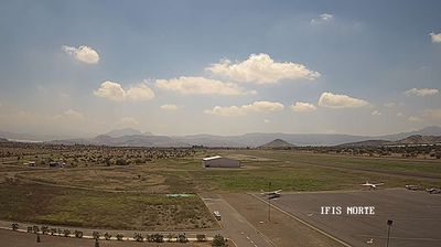


Huechuraba straddles the transition between Santiago’s urban basin and the foothills of the Chilean Coastal Range in the Santiago Metropolitan Region, a position that gives it the character of the capital’s northern edge. The Mapocho River crosses the Santiago basin south of Huechuraba, while dry, rugged hills on the horizon reflect central Chile’s Mediterranean climate. Ciudad Empresarial, a planned office district, underlines the commune’s contemporary economic role alongside its residential neighbourhoods. Its location also provides links north towards Colina and the Chacabuco Valley. Follow other webcams around the Santiago Metropolitan Region to see how Huechuraba connects with the capital’s northern districts and the wider basin.
1 webcam
Santiago Metropolitan Region combines the intensity of Chile’s capital with an Andean setting in a way that reflects its position within the country’s central valley. Santiago spreads across the basin west of the Andes, while the Mapocho River crosses the urban area from the mountains. The region is Chile’s political, financial and cultural centre, with institutions, museums and neighbourhoods ranging from the historic core around Plaza de Armas to newer districts at the foot of the cordillera. Founded in 1541, Santiago remains the country’s largest city and a base for understanding central Chile’s urban life. Continue through nearby webcams to explore different parts of the Santiago Metropolitan Region.
8 webcams
Among the countries of South America, Chile stands out for its exceptional north-to-south extent between the Andes and the Pacific Ocean. The Atacama Desert in the north is one of the driest places on Earth, while the south reaches into Patagonia, where Torres del Paine National Park is known for its jagged granite peaks, glaciers and lakes. Chile also includes Rapa Nui, the Pacific island famed for its monumental moai statues. In Valparaíso, steep hills, funicular railways and colourful historic neighbourhoods reflect the country’s maritime past; its historic quarter is a UNESCO World Heritage Site. Find related webcams in the surrounding area to build a fuller picture of Chile’s Pacific coast and Andean regions.
101 webcams