 Saratoga Springs: North Redwood Road
Utah Lake defines the setting of Saratoga Springs — the city extends from its northwestern shore toward the Lake Mountains. North Redwood Road is a key north–south arterial through this part of Utah County, and the junction at Parkway Boulevard reflects the city’s shift from open land to suburban development. Saratoga Springs was incorporated in 1997, but its name reaches back to the hot springs near the lake that were known long before the present city. Today it belongs to the Provo–Orem metropolitan area, with neighborhoods and road infrastructure spreading across the valley floor between the lake and mountain slopes.
Generated by AI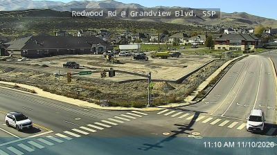
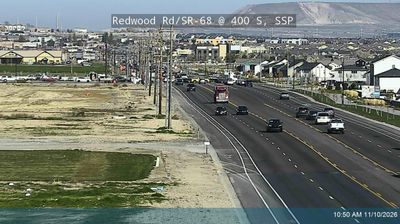
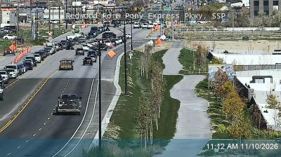
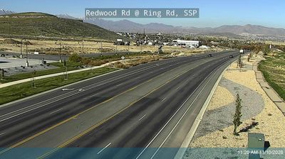
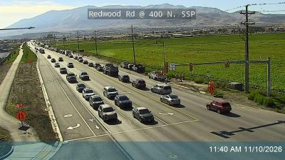
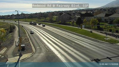

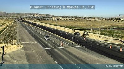
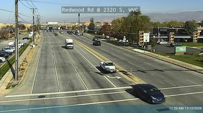
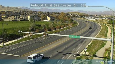

Saratoga Springs stretches along the northwestern shore of Utah Lake in Utah County, a lakeside position that has shaped it from a hot-springs stop into a fast-growing residential community. Utah Lake, the state’s largest natural freshwater lake, defines the city’s setting, while the Lake Mountains rise to the west and the Wasatch Range forms the broader horizon. The city takes its name from mineral hot springs on the lakeshore, a local feature that predates its modern expansion. Saratoga Springs belongs to the urbanizing Wasatch Front yet retains a close connection to open water. Browse other webcams across Utah County and the Wasatch Front to place this lakeside setting in a wider geographic context.
25 webcams
Utah has functioned as a frontier region within the United States since the mid-19th century. Its terrain spans the Great Basin, the Wasatch Range and the Colorado Plateau, where red-rock canyons and high desert occupy much of the south and east. The Great Salt Lake is the state’s defining inland water body, while the Colorado River has carved some of its most dramatic canyon country. Salt Lake City grew from the 1847 settlement of Mormon pioneers, and Utah entered the Union in 1896. Five national parks, including Zion, Arches and Bryce Canyon, reflect the extraordinary variety of its protected landscapes. Continue through nearby webcams to explore different parts of Utah.
1.1K webcams
The Atlantic, Pacific and Gulf coasts define much of the United States — their ports, fisheries and trade routes have long tied the country’s economy to the wider world. Between them, the Rocky Mountains, Great Plains and Mississippi River basin form sharply different regions, from high western ranges to broad agricultural heartlands. Cities carry much of the national story: New York’s Statue of Liberty, a gift from France dedicated in 1886, remains an enduring symbol, while Washington, DC concentrates major federal institutions. Indigenous nations have shaped these lands for millennia, and their living cultures remain essential to the country’s identity. Find related webcams in the surrounding areas to build a fuller picture of the United States.
32K webcams