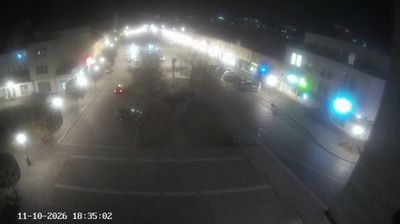
 Bzenec: náměstí Svobody
Bzenec straddles the transition between the Kyjov Hills and the Morava lowland in South Moravia, a setting that has tied its compact town centre to vineyards and farming country. Náměstí Svobody is the civic heart of this small wine town, lined with everyday shops and public buildings rather than grand urban blocks. Viticulture remains central to Bzenec’s identity, and its name is closely associated with Bzenecká lipka, a locally rooted wine tradition. The parish Church of St John the Baptist forms part of the historic centre. The surrounding lowland belongs to the wider Moravian wine landscape, where settlement, cultivation and local services meet on a human scale.
Generated by AI



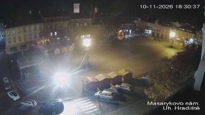

Bzenec occupies the southeastern foothills of the Ždánický les in South Moravia. The town stands on the edge of the broad Lower Morava Valley, where wooded slopes meet vineyards and cultivated plains. Wine is central to local identity: Bzenec belongs to the Slovácko wine subregion, and its cellars and vineyard sites remain part of everyday life rather than simply a visitor attraction. Near the centre, the château park contains the Bzenecká lípa, a celebrated old linden and a local landmark. Bzenec also lies close to the Moravian Slovakia cultural area, noted for folk costumes, music and harvest traditions. Discover other points of interest through webcams located across Bzenec and South Moravia.
2 webcams
South Moravian Region has acted as a cultural crossroads within the Czech lands since the Middle Ages. Brno, Czechia’s second-largest city, is its urban centre, with Špilberk Castle recalling its long strategic role. The region extends across the warm lowlands of the Morava and Dyje rivers, where vineyards shape the countryside around Mikulov and Znojmo. To the north, the Moravian Karst is known for its limestone caves and the Macocha Abyss. The Lednice–Valtice Cultural Landscape, a UNESCO World Heritage Site, combines formal estates, follies and parkland near the Austrian border. Continue with other webcams from the area to see how this part of South Moravia connects regionally.
93 webcams
The terrain of Czechia ranges from fertile lowlands in southern Moravia to mountain ridges along the northern frontier, giving this Central European country a distinctly varied geography. The Vltava runs through Prague before joining the Elbe, while the Krkonoše form part of the border with Poland and include Sněžka, Czechia’s highest mountain. Prague’s historic centre, with Prague Castle and Charles Bridge, reflects the city’s long role as a political and cultural centre. Beyond the capital, Bohemia is known for spa towns and brewing, and Moravia for wine-growing traditions. View additional webcams nearby to better understand how Czechia relates to its Central European surroundings.
1.4K webcams