 Vars: Crévoux
Built around scattered farmsteads in a high Alpine valley, Crévoux developed into a small mountain commune and ski area in France’s Hautes-Alpes. Its slopes occupy the Crévoux valley on the western side of the Parpaillon Massif, above the Durance basin near Embrun. Larch woodland, open grazing land and steep mountain terrain give the settlement a distinctly upland character, while its ski infrastructure remains spread across the valley rather than concentrated in a large resort centre. Crévoux also lies on the approach to the Col de Parpaillon, where a historic military road passes through the Parpaillon tunnel towards the Ubaye valley. It is a more intimate Alpine setting than the larger stations nearby.
Generated by AI


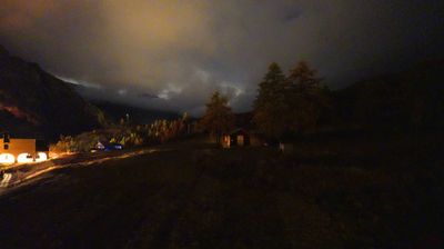

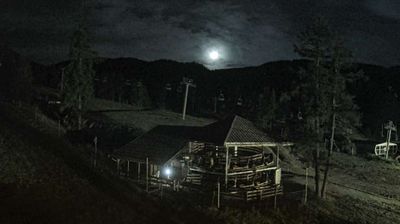
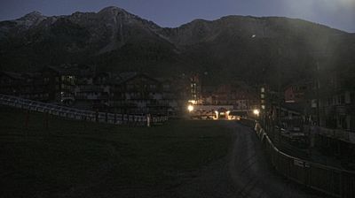
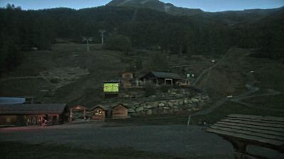

Vars occupies a high Alpine valley beneath the Col de Vars in Provence-Alpes-Côte d’Azur. The commune spreads across the hamlets of Saint-Marcellin, Sainte-Marie, Sainte-Catherine and Les Claux, the principal resort centre. The Col de Vars links the Guillestre area with the Ubaye valley and has featured on the Tour de France, making it a familiar challenge for road cyclists. In winter, Vars joins neighbouring Risoul in the La Forêt Blanche ski area; in summer, larch-covered slopes and pass roads draw walkers and cyclists. Browse additional webcams from the surrounding area to extend your view of the French Alps.
5 webcams
Provence-Alpes-Côte d’Azur occupies France’s southeastern Mediterranean coast and Alpine borderlands. Its terrain runs from the Rhône delta and the Camargue wetlands to the limestone coves of the Calanques and the high valleys of the French Alps, while the Côte d’Azur forms its celebrated shoreline. Marseille, France’s oldest city, is a major port, and Avignon’s Palais des Papes recalls the 14th-century papal court. Inland, Provençal markets, olive cultivation and lavender-growing areas remain central to regional identity. Browse additional webcams nearby to see how Provence-Alpes-Côte d’Azur connects with the Mediterranean, the Alps and neighbouring Italy.
270 webcams
The Atlantic and Mediterranean coastlines, together with the Alps, Pyrenees and broad river basins, define much of France — they support maritime trade, farming, wine regions and travel throughout the year. The Seine runs through Paris, where the Eiffel Tower and the Louvre are among Europe’s most recognised landmarks. The Loire Valley is known for Renaissance châteaux, while Mont-Saint-Michel rises from a tidal bay in Normandy. Regional food traditions are equally distinctive, from Breton seafood to Provençal cooking, with bread, cheese and wine central to everyday life. France’s global cultural influence is evident in its language, literature, fashion and cinema. View additional webcams nearby to better understand how France’s coasts, plains and mountain borders relate to their surroundings.
2.2K webcams