 Kuvika: Skarsvågrevva
Kuvika lies along Magerøya’s Barents Sea coast, where the E69 crosses a broad, treeless upland of rounded rock, heath and small pools. This part of Finnmark has a spare, exposed character, far removed from Norway’s forested south. The road is the island’s main overland link, running between Honningsvåg, the fishing town on Magerøya’s east coast, and Skarsvåg before continuing towards the Nordkapp plateau. Magerøya is separated from the mainland by the Magerøysundet strait; since 1999, the undersea North Cape Tunnel has connected the island to the mainland road network. For travellers bound for Nordkapp, Kuvika represents the open interior terrain behind the coast.
Generated by AI
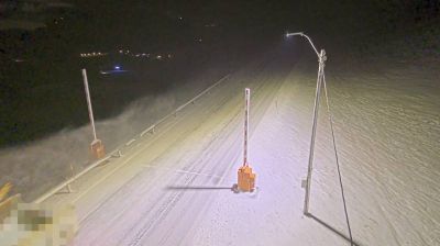
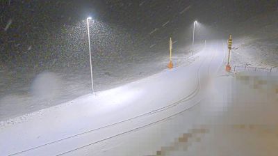
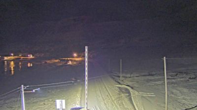

Built around a sheltered coastal inlet, Kuvika forms a small locality on Magerøya, an island in Norway’s far north. Its setting belongs to the Arctic coastline of Troms og Finnmark, where low, treeless terrain meets exposed northern waters and weather shapes everyday life. Magerøya is best known for North Cape, the monumental headland crowned by its globe sculpture and long associated with journeys to Europe’s northern edge. Fishing has long been central to communities around the island, including the nearby harbour settlements. Discover how Kuvika relates to Magerøya and northern Norway by browsing webcams nearby.
2 webcams
Finnmark is best known within Norway for the North Cape, the dramatic headland on Magerøya facing the Barents Sea. Norway’s northernmost county stretches across an Arctic coast of islands, fjords and exposed tundra, with long distances between its settlements. The region is central to Sámi culture: Karasjok is home to the Sámi Parliament of Norway, while reindeer husbandry remains important across the interior. Fishing has long shaped coastal communities, and the waters of the Barents Sea support a major maritime economy. View additional webcams nearby to better understand how Finnmark relates to its Arctic surroundings.
52 webcams
Norway has served as a seafaring link between the North Atlantic and northern Europe since the Viking Age. Its long coastline is cut by fjords, while the Lofoten archipelago rises sharply from the Norwegian Sea and the mountains of Jotunheimen include Galdhøpiggen, Norway’s highest peak. Bergen’s Bryggen, the former Hanseatic wharf, recalls centuries of maritime trade. Farther north, Sámi culture remains an essential part of the country’s identity. Explore nearby webcam locations that provide complementary perspectives on Norway’s coast, fjords and mountain regions.
1.5K webcams