 Sarnen: Camping Seefeld
Among the places of Obwalden, Camping Seefeld in Sarnen stands out for its lakeside setting on Lake Sarnen. This campsite lies on the eastern shore, where caravan pitches and trees meet the water and settled foothills rise across the valley. Sarnen, the cantonal capital, spreads along the lake’s northern end and serves as Obwalden’s administrative centre. The surrounding landscape has a distinctly central Swiss character: grassland, woodland and scattered farmhouses occupy the slopes beneath higher Alpine terrain. Lake Sarnen continues south from the town towards Giswil, making Seefeld a useful base for exploring the canton by road or bicycle.
Generated by AI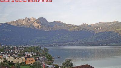
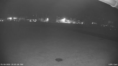
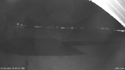
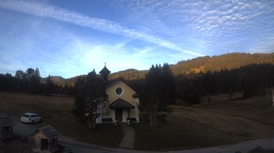
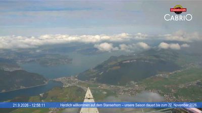
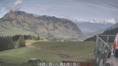
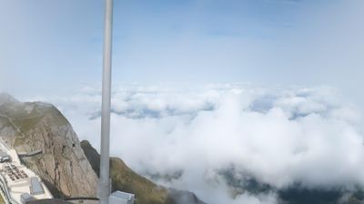
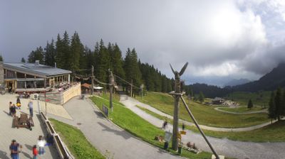

Sarnen combines the responsibilities of Obwalden’s cantonal capital with the measured rhythm of a lakeside town, reflecting its position between Lake Sarnen and the pre-Alpine valleys of central Switzerland. The Sarner Aa leaves the lake here, while slopes above the shore keep the compact centre closely connected to its rural surroundings. Sarnen lies on the Brünig railway route between Lucerne and Interlaken, an important link across the Alpine foothills. The medieval Hexenturm remains a distinctive reminder of the town’s civic past. Browse additional webcams around Lake Sarnen and throughout Obwalden to extend your view of central Switzerland.
4 webcams
Built around the Sarner Aa valley, Obwalden developed into one of the small cantons of central Switzerland. Lake Sarnen and Lake Lungern shape its settled valleys, while the terrain climbs rapidly toward the Alps. Engelberg, in the canton’s south, is known for its Benedictine abbey, founded in 1120, and for access to Mount Titlis. The capital, Sarnen, keeps the administrative focus close to Lake Sarnen; elsewhere, farms, woodland and mountain pastures remain central to the local character. Obwalden also formed part of historic Unterwalden, one of the communities associated with the early Swiss Confederation. View additional webcams nearby to better understand how Obwalden connects with the lakes and high valleys of central Switzerland.
19 webcams
Switzerland stretches from the Jura Mountains in the northwest to the Alps in the south, encompassing a central plateau of cities, farms and lakes. The Rhine rises in the Swiss Alps, while Lake Geneva forms part of the country’s southwestern border. Zürich, Geneva and Basel are major urban centres, yet mountain railways and passes remain central to how many regions are experienced. Four national languages—German, French, Italian and Romansh—reflect Switzerland’s distinct cantonal identities. The Matterhorn above Zermatt is among Europe’s most recognisable peaks, and the 1291 Federal Charter is closely associated with the country’s founding tradition. Continue through nearby webcams to explore different parts of Switzerland.
1.5K webcams